UN/LOCODE hub · United Kingdom
GBWYC
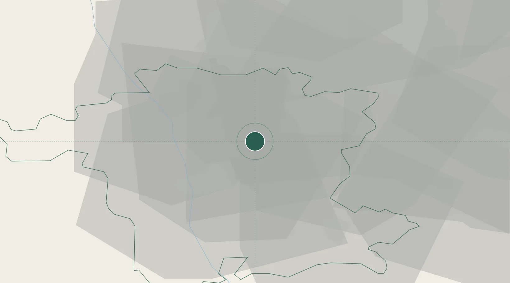
Wychbold
52.2833°, -2.1000°
1,366
Population
1
Transport functions
Transport Functions
Port
Hub Profile
Place type
Populated place
Region
England
Population
1,366
Time zone
Europe/London
Elevation
56 m
Location
Nearby Logistics Neighbours
Cities
- 1Warndon10 km
- 2Longbridge/Birmingham15 km
- 3Throckmorton16 km
- 4Norton16 km
- 5Defford17 km
Airports
- 1Birmingham Airport31 km
- 2RAF Cosford42 km
- 3Coventry Airport43 km
- 4Gloucestershire Airport44 km
- 5RAF Shawbury69 km
Trade Zones
DatabookThe Record of Consolidated Knowledge
United Kingdom beyond logistics?