Transport Functions
Port
Rail
Road
Multimodal
Hub Profile
Place type
Populated place
Region
England
Population
6,889
Time zone
Europe/London
Elevation
98 m
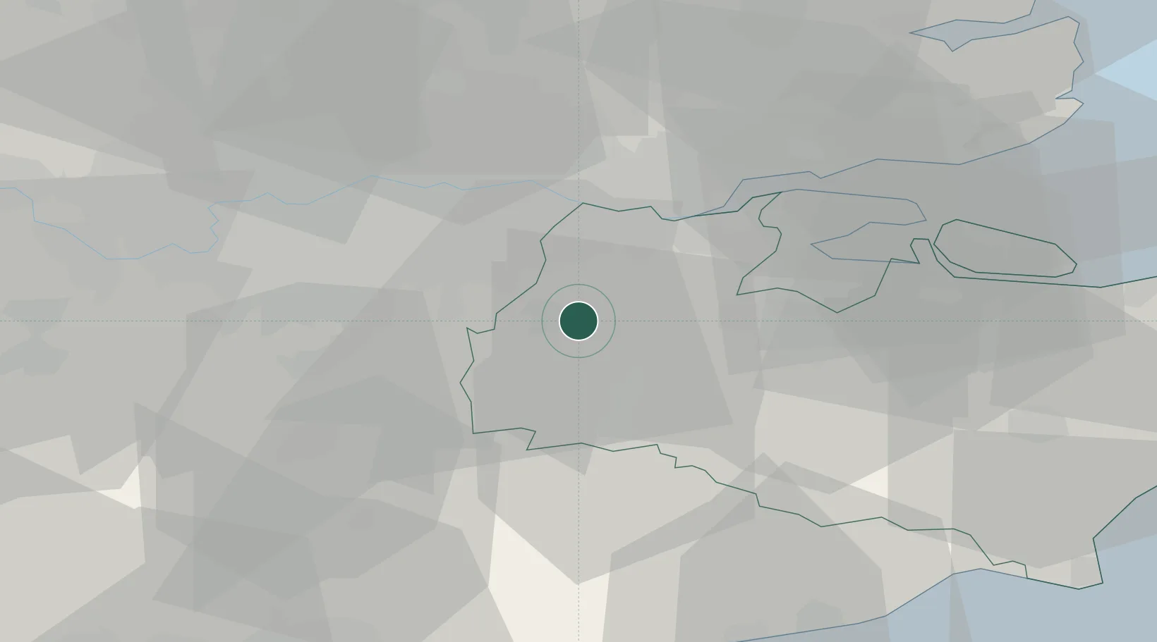
Location
Nearby Logistics Neighbours
Cities
- 1Shoreham3 km
- 2Weald10 km
- 3Chiddingstone Causeway11 km
- 4Meopham13 km
- 5West Malling13 km
Ports
- 1Gravesend20 km
- 2Tilbury20 km
- 3Chatham Docks26 km
- 4London31 km
- 5Isle Of Grain37 km
Airports
- 1London Biggin Hill Airport13 km
- 2London City Airport25 km
- 3London Gatwick Airport33 km
- 4London Southend Airport45 km
- 5London Heathrow Airport51 km
Trade Zones
DatabookThe Record of Consolidated Knowledge
United Kingdom beyond logistics?