Transport Functions
Multimodal
Hub Profile
Place type
Populated place
Region
England
Population
4,361
Time zone
Europe/London
Elevation
137 m
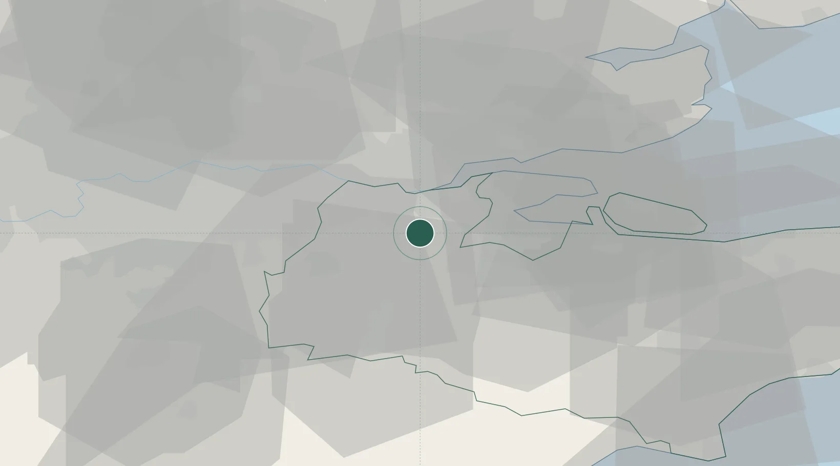
Location
Nearby Logistics Neighbours
Cities
- 1Gravesend9 km
- 2New Hythe9 km
- 3West Malling10 km
- 4Tilbury11 km
- 5Upnor11 km
Ports
- 1Gravesend9 km
- 2Tilbury11 km
- 3Chatham Docks13 km
- 4Isle Of Grain24 km
- 5Thamesport24 km
Airports
- 1London Biggin Hill Airport24 km
- 2London City Airport27 km
- 3London Southend Airport32 km
- 4London Gatwick Airport45 km
- 5RAF Northolt58 km
Trade Zones
DatabookThe Record of Consolidated Knowledge
United Kingdom beyond logistics?