UN/LOCODE hub · United Kingdom
GBCTO
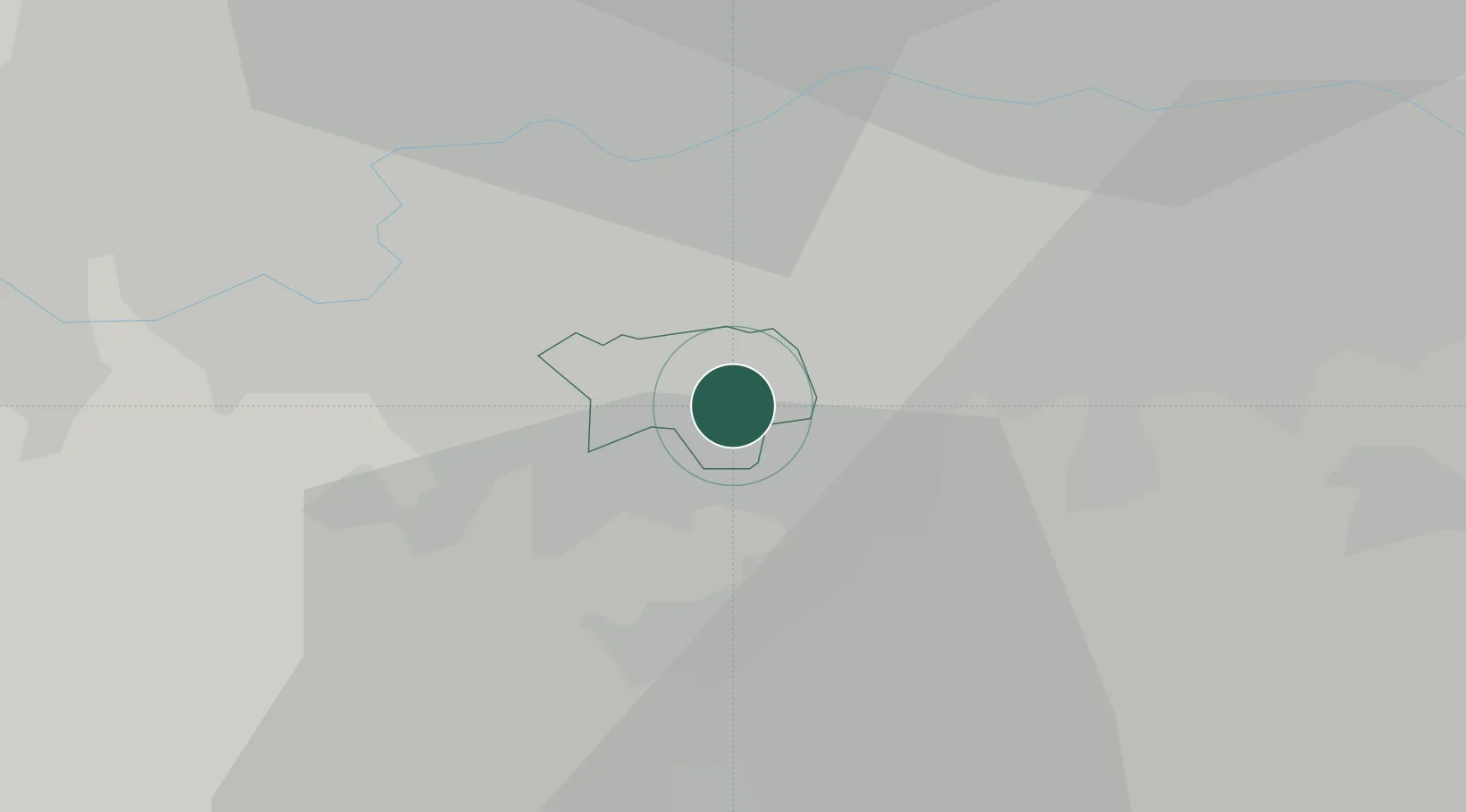
Carshalton
51.3500°, -0.1500°
45,525
Population
2
Transport functions
Transport Functions
Rail
Road
Hub Profile
Place type
Populated place
Region
England
Population
45,525
Time zone
Europe/London
Elevation
39 m
Location
Nearby Logistics Neighbours
Cities
- 1North Cheam4 km
- 2Whyteleafe6 km
- 3Thornton Heath7 km
- 4Nutfield7 km
- 5New Maldon9 km
Ports
- 1London17 km
- 2Tilbury36 km
- 3Gravesend38 km
- 4Chatham Docks49 km
- 5Isle Of Grain60 km
Airports
- 1London Biggin Hill Airport13 km
- 2London City Airport22 km
- 3London Gatwick Airport23 km
- 4London Heathrow Airport25 km
- 5RAF Northolt29 km
DatabookThe Record of Consolidated Knowledge
United Kingdom beyond logistics?