Transport Functions
Rail
Road
Hub Profile
Place type
Locality
Region
England
Time zone
Europe/London
Elevation
32 m
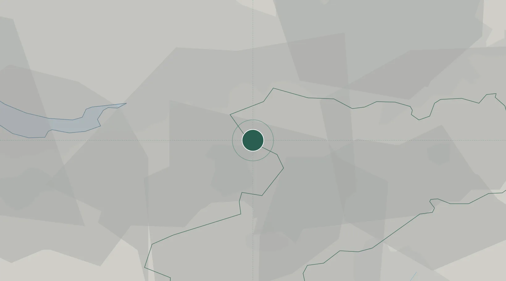
Location
Nearby Logistics Neighbours
Cities
- 1Hartford7 km
- 2Daresbury12 km
- 3Cadishead13 km
- 4Warrington14 km
- 5Moore14 km
Ports
- 1Manchester26 km
- 2Garlston30 km
- 3Liverpool38 km
- 4Mostyn53 km
- 5Liverpool Bay Terminal77 km
Airports
- 1Manchester Airport14 km
- 2Liverpool John Lennon Airport26 km
- 3Hawarden Airport36 km
- 4RAF Shawbury56 km
- 5Warton Aerodrome58 km
Trade Zones
DatabookThe Record of Consolidated Knowledge
United Kingdom beyond logistics?