Transport Functions
Rail
Road
Hub Profile
Place type
District seat
Region
England
Time zone
Europe/London
Elevation
53 m
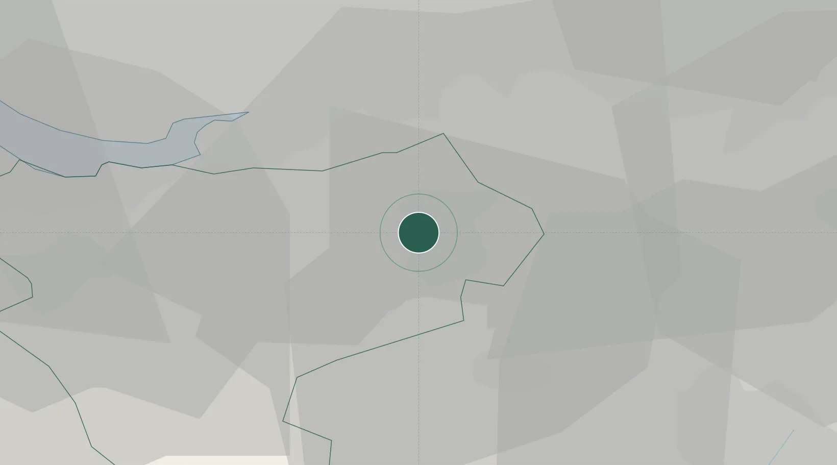
Location
Nearby Logistics Neighbours
Ports
- 1Garlston28 km
- 2Manchester33 km
- 3Liverpool37 km
- 4Mostyn50 km
- 5Liverpool Bay Terminal75 km
Airports
- 1Manchester Airport21 km
- 2Liverpool John Lennon Airport24 km
- 3Hawarden Airport30 km
- 4RAF Shawbury49 km
- 5Warton Aerodrome61 km
Trade Zones
DatabookThe Record of Consolidated Knowledge
United Kingdom beyond logistics?