Transport Functions
Road
Multimodal
Hub Profile
Place type
Populated place
Region
Wales
Population
2,834
Time zone
Europe/London
Elevation
19 m
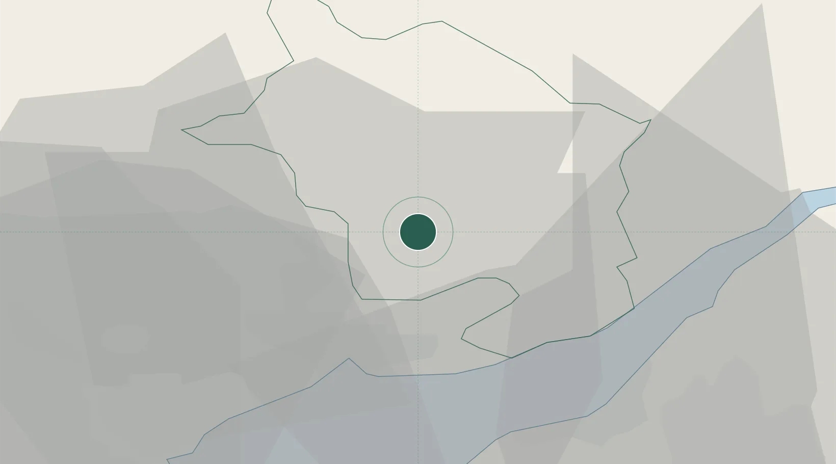
Location
Nearby Logistics Neighbours
Cities
- 1Mamhilad7 km
- 2Abertillery15 km
- 3Crick16 km
- 4Rogerstone17 km
- 5Risca17 km
Airports
- 1Bristol Airport38 km
- 2Cardiff International Airport46 km
- 3MOD St Athan49 km
- 4Gloucestershire Airport55 km
- 5RAF Fairford77 km
Trade Zones
DatabookThe Record of Consolidated Knowledge
United Kingdom beyond logistics?