Transport Functions
Port
Hub Profile
Region
SHN
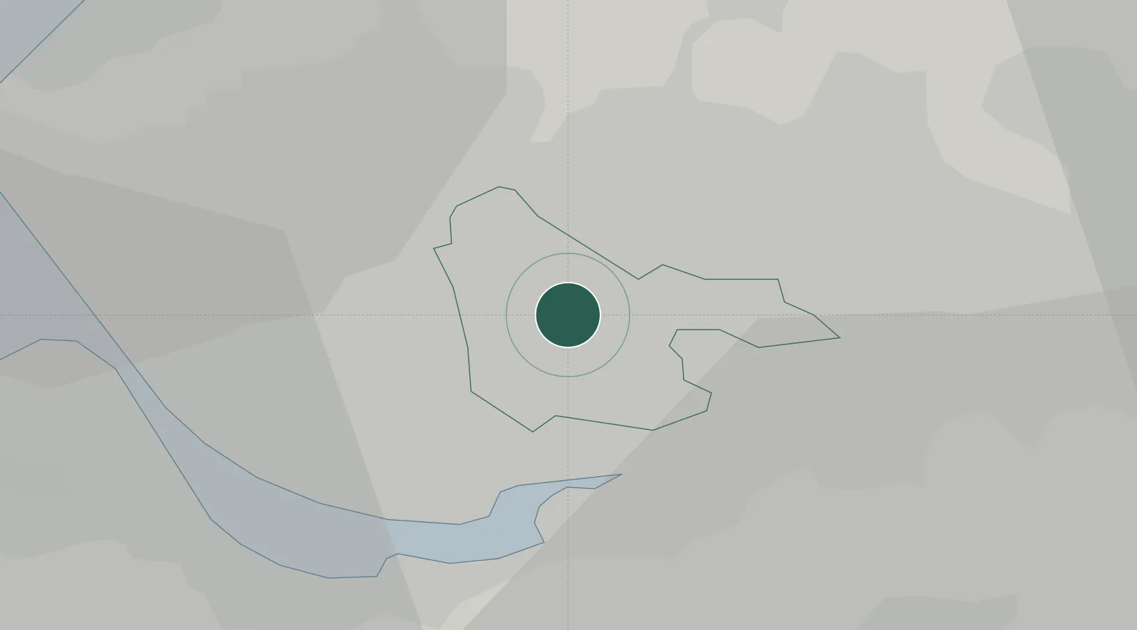
Location
Nearby Logistics Neighbours
Cities
- 1Rainhill4 km
- 2Earlestown6 km
- 3Whiston6 km
- 4Upholland9 km
- 5Widnes10 km
Ports
- 1Garlston16 km
- 2Liverpool18 km
- 3Manchester31 km
- 4Mostyn38 km
- 5Liverpool Bay Terminal55 km
Airports
- 1Liverpool John Lennon Airport15 km
- 2Manchester Airport32 km
- 3Warton Aerodrome34 km
- 4Hawarden Airport34 km
- 5Blackpool Airport41 km
Trade Zones
DatabookThe Record of Consolidated Knowledge
United Kingdom beyond logistics?