Transport Functions
Rail
Road
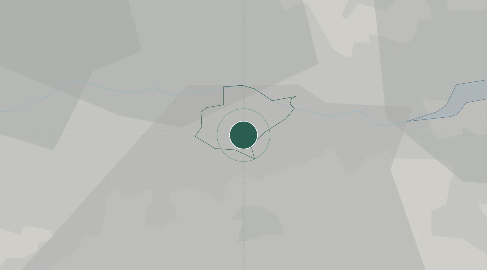
Hub Profile
Place type
Locality
Region
England
Population
228,000
Time zone
Europe/London
Elevation
16 m
Location
Nearby Logistics Neighbours
Ports
- 1Tilbury13 km
- 2Gravesend15 km
- 3London18 km
- 4Chatham Docks28 km
- 5Isle Of Grain38 km
Airports
- 1London City Airport10 km
- 2London Biggin Hill Airport14 km
- 3London Gatwick Airport39 km
- 4London Southend Airport41 km
- 5RAF Northolt42 km
Trade Zones
DatabookThe Record of Consolidated Knowledge
United Kingdom beyond logistics?