Transport Functions
Rail
Road
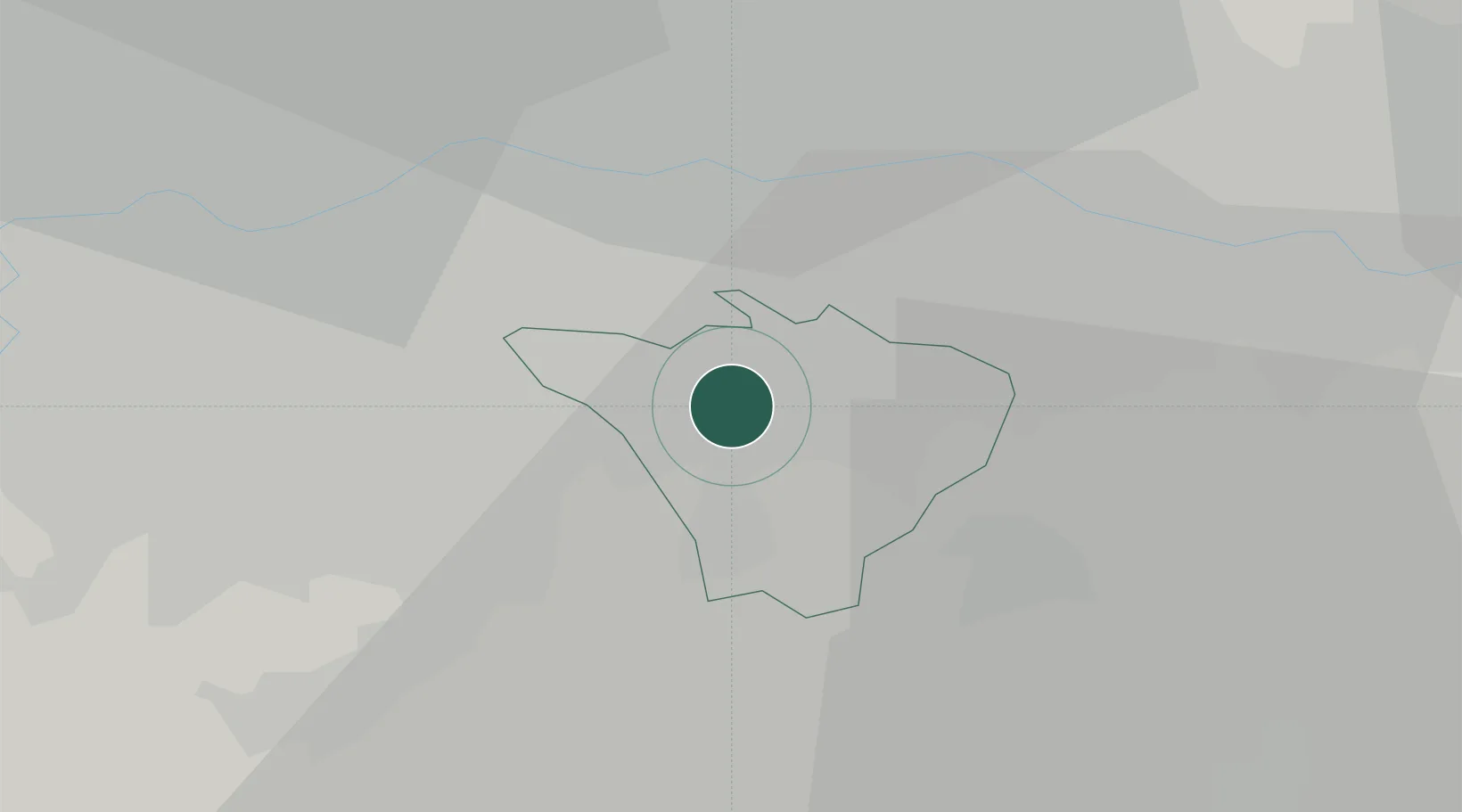
Hub Profile
Place type
Populated place
Region
England
Population
13,904
Time zone
Europe/London
Elevation
75 m
Location
Nearby Logistics Neighbours
Cities
- 1Lewisham8 km
- 2Thornton Heath9 km
- 3Bexley10 km
- 4Whyteleafe11 km
- 5Plumstead12 km
Ports
- 1London15 km
- 2Tilbury23 km
- 3Gravesend24 km
- 4Chatham Docks36 km
- 5Isle Of Grain47 km
Airports
- 1London Biggin Hill Airport6 km
- 2London City Airport14 km
- 3London Gatwick Airport30 km
- 4London Heathrow Airport36 km
- 5RAF Northolt37 km
Trade Zones
DatabookThe Record of Consolidated Knowledge
United Kingdom beyond logistics?