Transport Functions
Rail
Road
Hub Profile
Place type
Populated place
Region
England
Time zone
Europe/London
Elevation
46 m
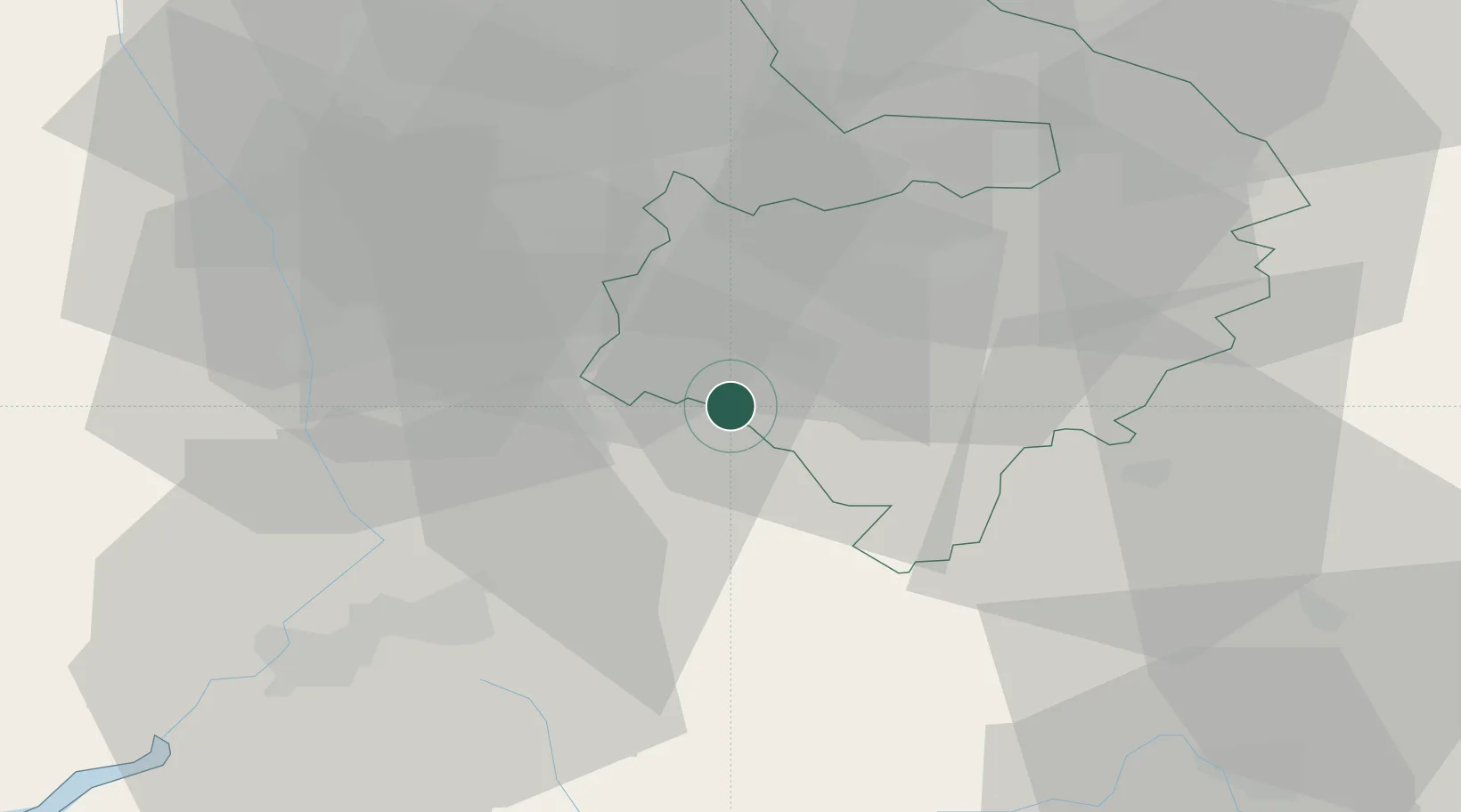
Location
Nearby Logistics Neighbours
Cities
- 1Honeybourne7 km
- 2Stratford-upon-Avon7 km
- 3Charlecote14 km
- 4Wallesbourne Hastings15 km
- 5Throckmorton17 km
Airports
- 1Coventry Airport33 km
- 2Birmingham Airport36 km
- 3Gloucestershire Airport37 km
- 4RAF Brize Norton45 km
- 5London Oxford Airport46 km
Trade Zones
DatabookThe Record of Consolidated Knowledge
United Kingdom beyond logistics?