UN/LOCODE hub · United Kingdom
GBSOT
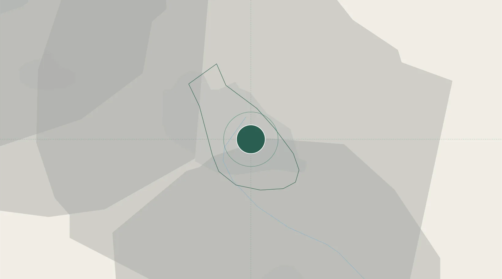
Stoke on Trent
53.0089°, -2.1572°
258,366
Population
1
Transport functions
Transport Functions
Port
Hub Profile
Place type
Provincial seat
Region
England
Population
258,366
Time zone
Europe/London
Elevation
114 m
Logistics facilities
1
Location
Nearby Logistics Neighbours
Ports
- 1Manchester53 km
- 2Garlston62 km
- 3Liverpool72 km
- 4Mostyn82 km
- 5Liverpool Bay Terminal109 km
Airports
- 1Manchester Airport39 km
- 2RAF Shawbury42 km
- 3RAF Cosford42 km
- 4Hawarden Airport58 km
- 5Liverpool John Lennon Airport59 km
Trade Zones
DatabookThe Record of Consolidated Knowledge
United Kingdom beyond logistics?