UN/LOCODE hub · United Kingdom
GBGOA
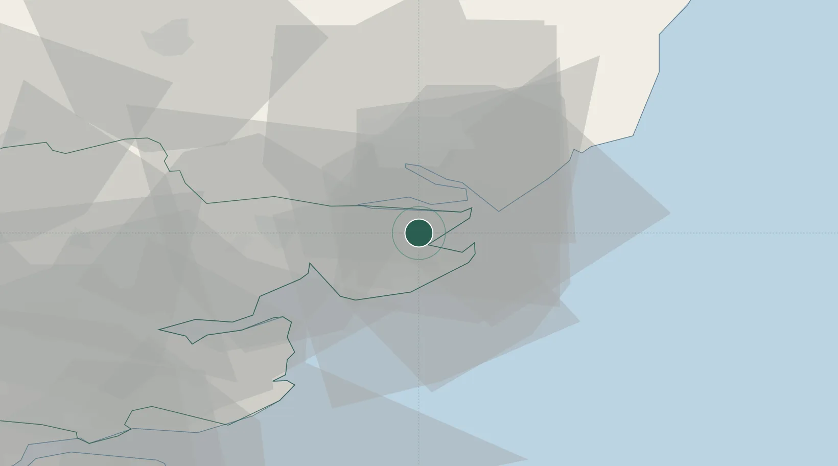
Great Oakley
51.9000°, 1.1833°
702
Population
2
Transport functions
Transport Functions
Port
Road
Hub Profile
Place type
Populated place
Region
England
Population
702
Time zone
Europe/London
Elevation
26 m
Location
Nearby Logistics Neighbours
Cities
- 1Wix2 km
- 2Little Oakley4 km
- 3Walton-on-the-Naze7 km
- 4Frinton-on-Sea8 km
- 5Dovercourt9 km
Ports
- 1Harwich9 km
- 2Felixstowe11 km
- 3Ipswich17 km
- 4Colchester18 km
- 5Sheerness58 km
Airports
- 1Wattisham Airfield30 km
- 2London Southend Airport50 km
- 3RAF Honington57 km
- 4London Stansted Airport65 km
- 5RAF Mildenhall70 km
Trade Zones
DatabookThe Record of Consolidated Knowledge
United Kingdom beyond logistics?