UN/LOCODE hub · United Kingdom
GBHRF
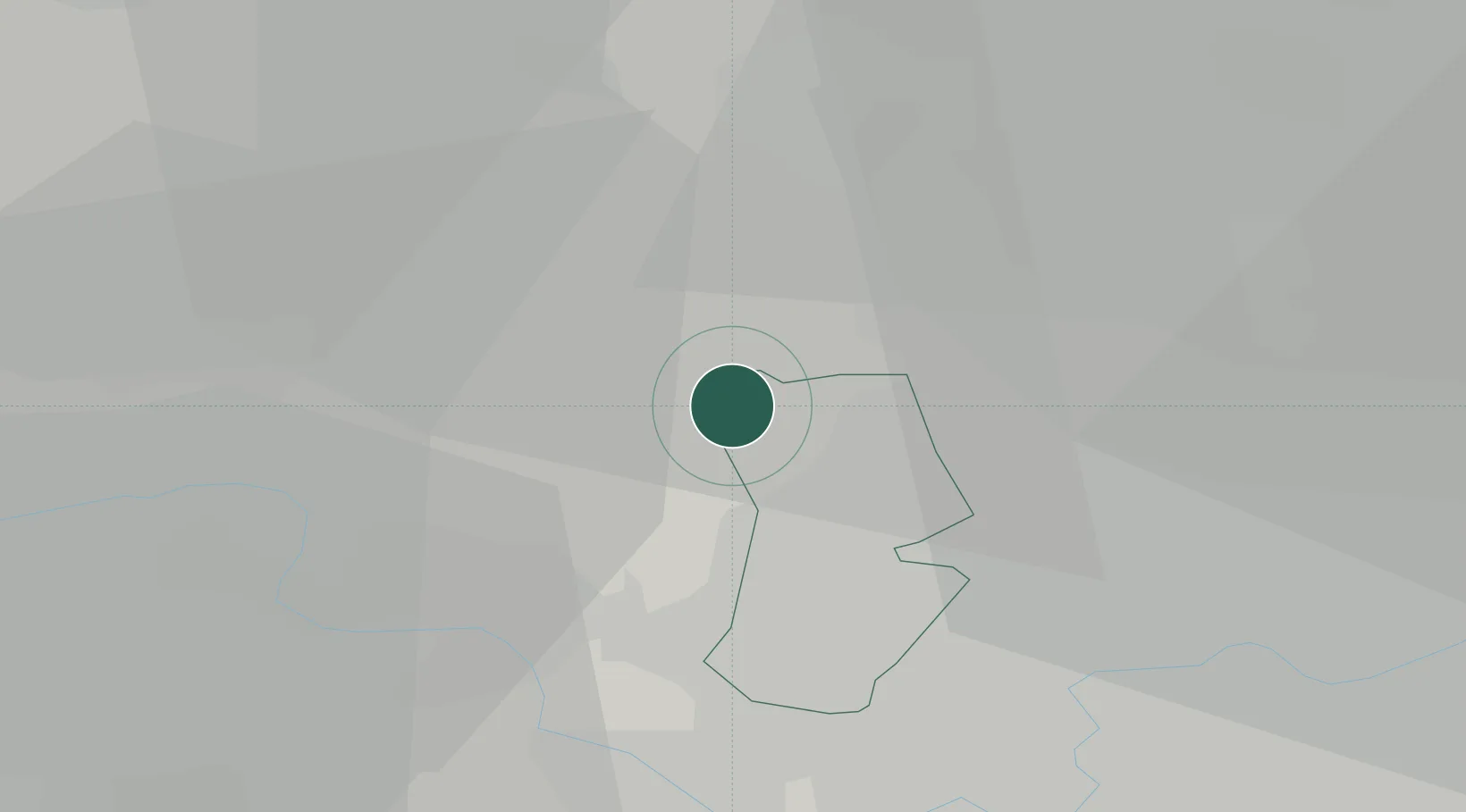
Harefield
51.6000°, -0.4833°
6,573
Population
1
Transport functions
Transport Functions
Port
Hub Profile
Place type
Populated place
Region
England
Population
6,573
Time zone
Europe/London
Elevation
87 m
Location
Nearby Logistics Neighbours
Cities
- 1Uxbridge6 km
- 2Hackney6 km
- 3Little Chalfont9 km
- 4Walthamstow10 km
- 5Harrow on the Hill11 km
Ports
- 1London30 km
- 2Tilbury58 km
- 3Gravesend61 km
- 4Chatham Docks75 km
- 5Isle Of Grain84 km
Airports
- 1RAF Northolt7 km
- 2London Heathrow Airport15 km
- 3London Luton Airport32 km
- 4London City Airport39 km
- 5Blackbushe Airport40 km
Trade Zones
DatabookThe Record of Consolidated Knowledge
United Kingdom beyond logistics?