UN/LOCODE hub · United Kingdom
GBYET
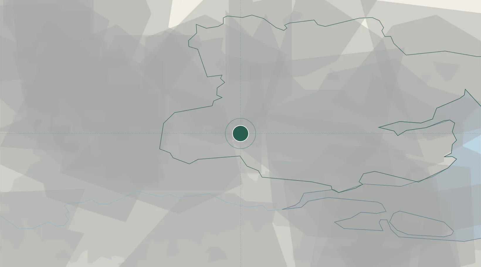
Chipping Ongar
51.7000°, 0.2500°
6,093
Population
2
Transport functions
Transport Functions
Rail
Road
Hub Profile
Place type
Populated place
Region
England
Population
6,093
Time zone
Europe/London
Elevation
55 m
Location
Nearby Logistics Neighbours
Cities
- 1Stapleford Abbots9 km
- 2Woodford Green11 km
- 3Harold Wood13 km
- 4Widford14 km
- 5Widford14 km
Ports
- 1Tilbury27 km
- 2Gravesend29 km
- 3London32 km
- 4Chatham Docks39 km
- 5Isle Of Grain43 km
Airports
- 1London Stansted Airport21 km
- 2London City Airport26 km
- 3London Southend Airport34 km
- 4London Biggin Hill Airport44 km
- 5London Luton Airport47 km
Trade Zones
DatabookThe Record of Consolidated Knowledge
United Kingdom beyond logistics?