UN/LOCODE hub · France
FRZKC
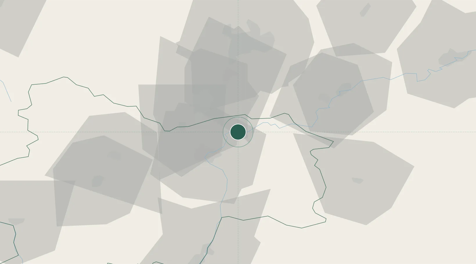
Verdun-sur-le-Doubs
46.9000°, 5.0167°
1,208
Population
1
Transport functions
Transport Functions
Multimodal
Hub Profile
Place type
Populated place
Region
Bourgogne
Population
1,208
Time zone
Europe/Paris
Elevation
176 m
Location
Nearby Logistics Neighbours
Cities
- 1Verjux4 km
- 2Gergy5 km
- 3Saint-Gervais-en-Vallière6 km
- 4Toutenant9 km
- 5Saint-Loup-Géanges10 km
Ports
- 1Fos388 km
- 2Port-de-Bouc389 km
- 3Port Saint Louis Du Rhone391 km
- 4Savona395 km
- 5Rada Di Vado397 km
Airports
- 1Dole Tavaux Airport35 km
- 2Dijon Longvic airport41 km
- 3Mâcon-Charnay Airfield69 km
- 4Saint-Yan Airport94 km
- 5Ambérieu Air Base (BA 278)104 km
Trade Zones
- 1ZFU Chenôve44 km
- 2ZFU Besancon84 km
- 3Geneva Cointrin International Airport Free Port112 km
- 4Port Franc de Geneve114 km
- 5Geneva Freeport, La Praille, Geneva116 km
DatabookThe Record of Consolidated Knowledge
France beyond logistics?