UN/LOCODE hub · France
FRGJK

Saint-Loup-Géanges

46.9333°, 4.9000°
766
Population
1
Transport functions

Transport Functions

Multimodal
UN/LOCODE

Hub Profile

Place type
Populated place
GeoNames
Region
Bourgogne
GeoNames
Population
766
GeoNames
Time zone
Europe/Paris
GeoNames
Elevation
183 m
GeoNames

Location

Location of FRGJK
Natural Earth 10m (public domain) · Bourgogne · FRGJK · 46.93, 4.90GoogleOSMYandex

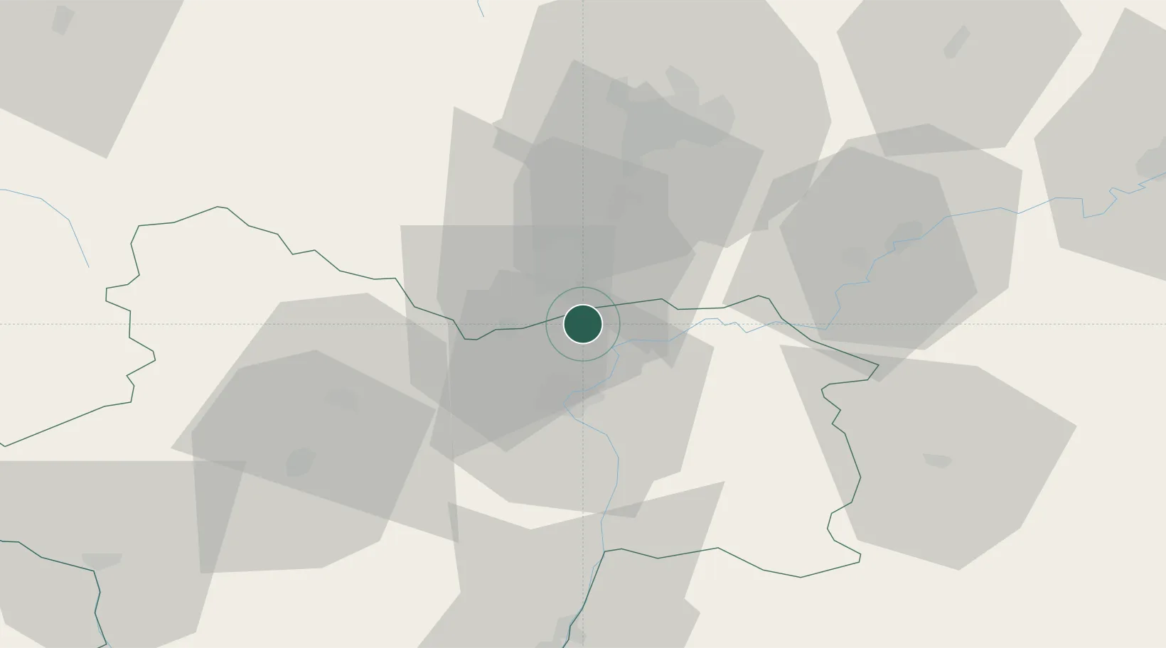
Nearby Logistics Neighbours

Cities
  1. 1Saint-Gervais-en-Vallière4 km
  2. 2Demigny5 km
  3. 3Meursanges7 km
  4. 4Gergy7 km
  5. 5Tailly7 km
Nearest neighbours — logibook spatial index (haversine) over the source coordinates
Ports
  1. 1Fos391 km
  2. 2Port-de-Bouc393 km
  3. 3Port Saint Louis Du Rhone395 km
  4. 4Port Of Rouen399 km
  5. 5Savona404 km
Nearest neighbours — logibook spatial index (haversine) over the source coordinates
Airports
  1. 1Dijon Longvic airport40 km
  2. 2Dole Tavaux Airport42 km
  3. 3Mâcon-Charnay Airfield71 km
  4. 4Saint-Yan Airport89 km
  5. 5Ambérieu Air Base (BA 278)110 km
Nearest neighbours — logibook spatial index (haversine) over the source coordinates
Trade Zones
  1. 1ZFU Chenôve40 km
  2. 2ZFU Besancon91 km
  3. 3Geneva Cointrin International Airport Free Port121 km
  4. 4ZFU Rillieux-la-Pape123 km
  5. 5Port Franc de Geneve123 km
Nearest neighbours — logibook spatial index (haversine) over the source coordinates
DatabookThe Record of Consolidated Knowledge
France beyond logistics?
Browse databook

All Sources

LocationsUN/LOCODE
UN/LOCODE — free
LocationsGeoNames
CC BY 4.0
Portsthe NGA World Port Index
Public domain (US gov)
AirportsOurAirports
Public domain
Trade Zonesthe World Bank SEZ database
CC BY 4.0
Trade ZonesOpen Zone Map
CC BY
← France locations