UN/LOCODE hub · France
FRFVF
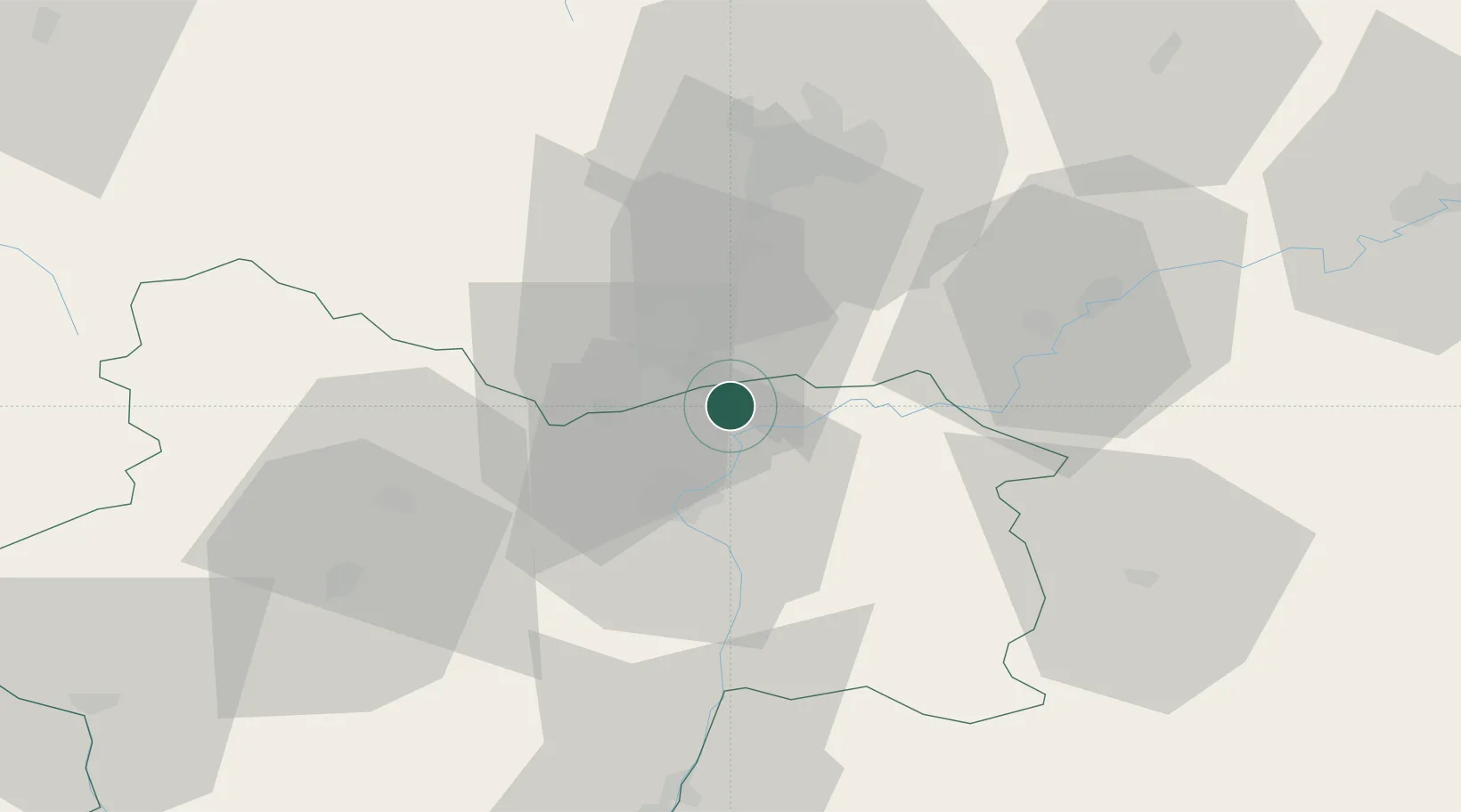
Saint-Gervais-en-Vallière
46.9333°, 4.9500°
305
Population
1
Transport functions
Transport Functions
Multimodal
Hub Profile
Place type
Populated place
Region
Bourgogne
Population
305
Time zone
Europe/Paris
Elevation
203 m
Location
Nearby Logistics Neighbours
Cities
- 1Saint-Loup-Géanges4 km
- 2Gergy6 km
- 3Meursanges6 km
- 4Verjux6 km
- 5Verdun-sur-le-Doubs6 km
Ports
- 1Fos391 km
- 2Port-de-Bouc393 km
- 3Port Saint Louis Du Rhone395 km
- 4Savona401 km
- 5Port Of Rouen401 km
Airports
- 1Dole Tavaux Airport38 km
- 2Dijon Longvic airport39 km
- 3Mâcon-Charnay Airfield72 km
- 4Saint-Yan Airport92 km
- 5Ambérieu Air Base (BA 278)109 km
Trade Zones
- 1ZFU Chenôve40 km
- 2ZFU Besancon87 km
- 3Geneva Cointrin International Airport Free Port118 km
- 4Port Franc de Geneve120 km
- 5Geneva Freeport, La Praille, Geneva122 km
DatabookThe Record of Consolidated Knowledge
France beyond logistics?