UN/LOCODE hub · France
FRTO7

Toutenant

46.8667°, 5.1167°
158
Population
1
Transport functions

Transport Functions

Multimodal
UN/LOCODE

Hub Profile

Place type
Populated place
GeoNames
Region
Bourgogne
GeoNames
Population
158
GeoNames
Time zone
Europe/Paris
GeoNames
Elevation
187 m
GeoNames

Location

Location of FRTO7
Natural Earth 10m (public domain) · Bourgogne · FRTO7 · 46.87, 5.12GoogleOSMYandex

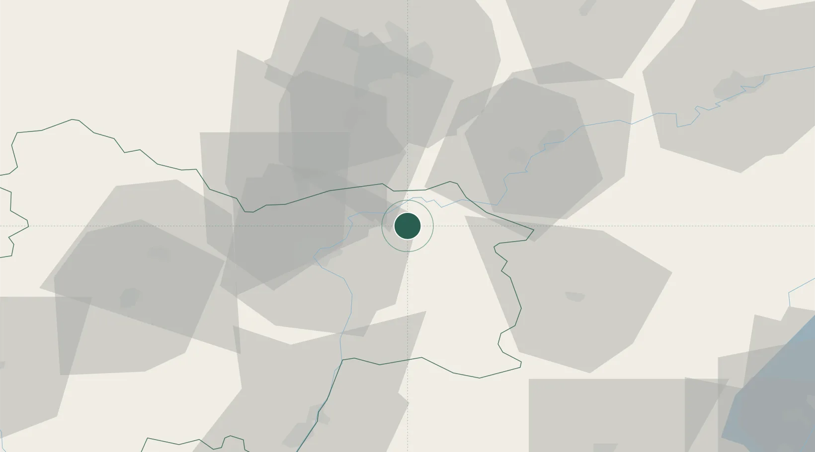
Nearby Logistics Neighbours

Cities
  1. 1Verdun-sur-le-Doubs9 km
  2. 2Verjux12 km
  3. 3La Chapelle-Saint-Sauveur12 km
  4. 4Gergy13 km
  5. 5Seurre13 km
Nearest neighbours — logibook spatial index (haversine) over the source coordinates
Ports
  1. 1Fos384 km
  2. 2Port-de-Bouc386 km
  3. 3Savona387 km
  4. 4Port Saint Louis Du Rhone388 km
  5. 5Rada Di Vado389 km
Nearest neighbours — logibook spatial index (haversine) over the source coordinates
Airports
  1. 1Dole Tavaux Airport30 km
  2. 2Dijon Longvic airport45 km
  3. 3Mâcon-Charnay Airfield68 km
  4. 4Saint-Yan Airport98 km
  5. 5Ambérieu Air Base (BA 278)99 km
Nearest neighbours — logibook spatial index (haversine) over the source coordinates
Trade Zones
  1. 1ZFU Chenôve48 km
  2. 2ZFU Besancon79 km
  3. 3Geneva Cointrin International Airport Free Port104 km
  4. 4Port Franc de Geneve106 km
  5. 5Geneva Freeport, La Praille, Geneva108 km
Nearest neighbours — logibook spatial index (haversine) over the source coordinates
DatabookThe Record of Consolidated Knowledge
France beyond logistics?
Browse databook

All Sources

LocationsUN/LOCODE
UN/LOCODE — free
LocationsGeoNames
CC BY 4.0
Portsthe NGA World Port Index
Public domain (US gov)
AirportsOurAirports
Public domain
Trade Zonesthe World Bank SEZ database
CC BY 4.0
Trade ZonesOpen Zone Map
CC BY
← France locations