UN/LOCODE hub · France
FRVEJ

Verjux

46.8833°, 4.9667°
514
Population
1
Transport functions

Transport Functions

Port
UN/LOCODE

Hub Profile

Place type
Populated place
GeoNames
Region
Bourgogne
GeoNames
Population
514
GeoNames
Time zone
Europe/Paris
GeoNames
Elevation
175 m
GeoNames

Location

Location of FRVEJ
Natural Earth 10m (public domain) · Bourgogne · FRVEJ · 46.88, 4.97GoogleOSMYandex

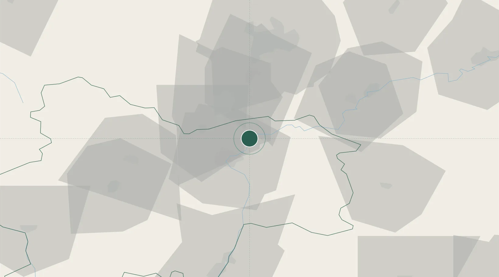
Nearby Logistics Neighbours

Cities
  1. 1Gergy1 km
  2. 2Verdun-sur-le-Doubs4 km
  3. 3Saint-Gervais-en-Vallière6 km
  4. 4Saint-Loup-Géanges8 km
  5. 5Virey9 km
Nearest neighbours — logibook spatial index (haversine) over the source coordinates
Ports
  1. 1Fos386 km
  2. 2Port-de-Bouc387 km
  3. 3Port Saint Louis Du Rhone389 km
  4. 4Savona396 km
  5. 5Nice398 km
Nearest neighbours — logibook spatial index (haversine) over the source coordinates
Airports
  1. 1Dole Tavaux Airport39 km
  2. 2Dijon Longvic airport44 km
  3. 3Mâcon-Charnay Airfield67 km
  4. 4Saint-Yan Airport90 km
  5. 5Ambérieu Air Base (BA 278)103 km
Nearest neighbours — logibook spatial index (haversine) over the source coordinates
Trade Zones
  1. 1ZFU Chenôve45 km
  2. 2ZFU Besancon88 km
  3. 3Geneva Cointrin International Airport Free Port113 km
  4. 4Port Franc de Geneve116 km
  5. 5Geneva Freeport, La Praille, Geneva118 km
Nearest neighbours — logibook spatial index (haversine) over the source coordinates
DatabookThe Record of Consolidated Knowledge
France beyond logistics?
Browse databook

All Sources

LocationsUN/LOCODE
UN/LOCODE — free
LocationsGeoNames
CC BY 4.0
Portsthe NGA World Port Index
Public domain (US gov)
AirportsOurAirports
Public domain
Trade Zonesthe World Bank SEZ database
CC BY 4.0
Trade ZonesOpen Zone Map
CC BY
← France locations