Transport Functions
Port
Road
Hub Profile
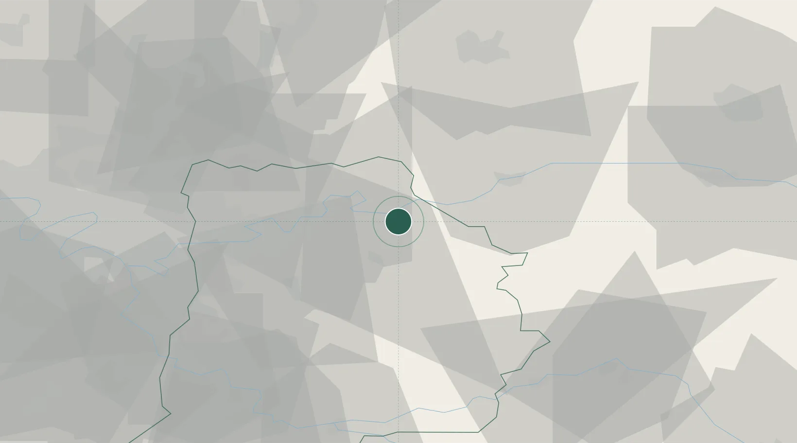
Place type
Populated place
Region
Île-de-France
Population
3,742
Time zone
Europe/Paris
Elevation
143 m
Location
Nearby Logistics Neighbours
Cities
- 1Luzancy4 km
- 2Saâcy-sur-Marne7 km
- 3Crouttes-sur-Marne9 km
- 4Charly-sur-Marne12 km
- 5Bézu-le-Guéry12 km
Ports
- 1Port Of Rouen161 km
- 2Saint-Valery-Sur-Somme177 km
- 3Le Treport179 km
- 4Dieppe185 km
- 5Honfleur219 km
Airports
Trade Zones
DatabookThe Record of Consolidated Knowledge
France beyond logistics?