Transport Functions
Multimodal
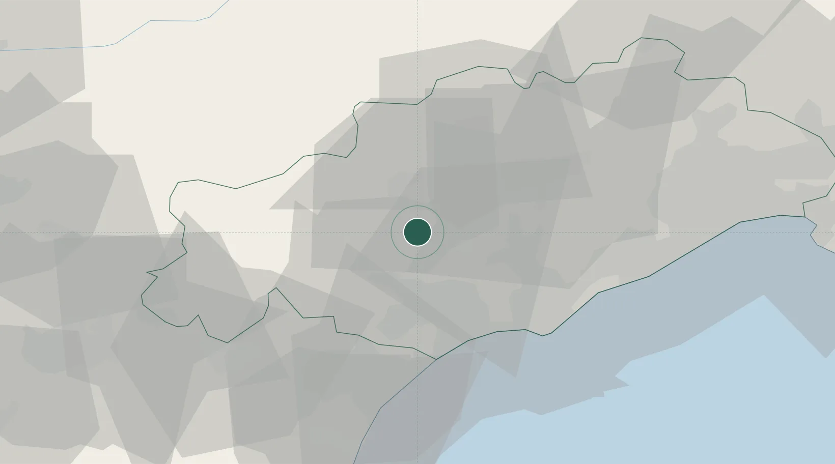
Hub Profile
Place type
Populated place
Region
Occitanie
Population
1,048
Time zone
Europe/Paris
Elevation
146 m
Location
Nearby Logistics Neighbours
Cities
- 1Autignac3 km
- 2Roquessels4 km
- 3Fouzilhon4 km
- 4Caussiniojouls6 km
- 5Gabian6 km
Ports
- 1Sete42 km
- 2Port-La-Nouvelle57 km
- 3Port-Vendres111 km
- 4Port Saint Louis Du Rhone131 km
- 5Fos136 km
Airports
Trade Zones
- 1ZFU Béziers20 km
- 2ZFU Montpellier53 km
- 3ZFU Perpignan94 km
- 4ZFU Nîmes98 km
- 5ZFU Avignon138 km
DatabookThe Record of Consolidated Knowledge
France beyond logistics?