Transport Functions
Multimodal
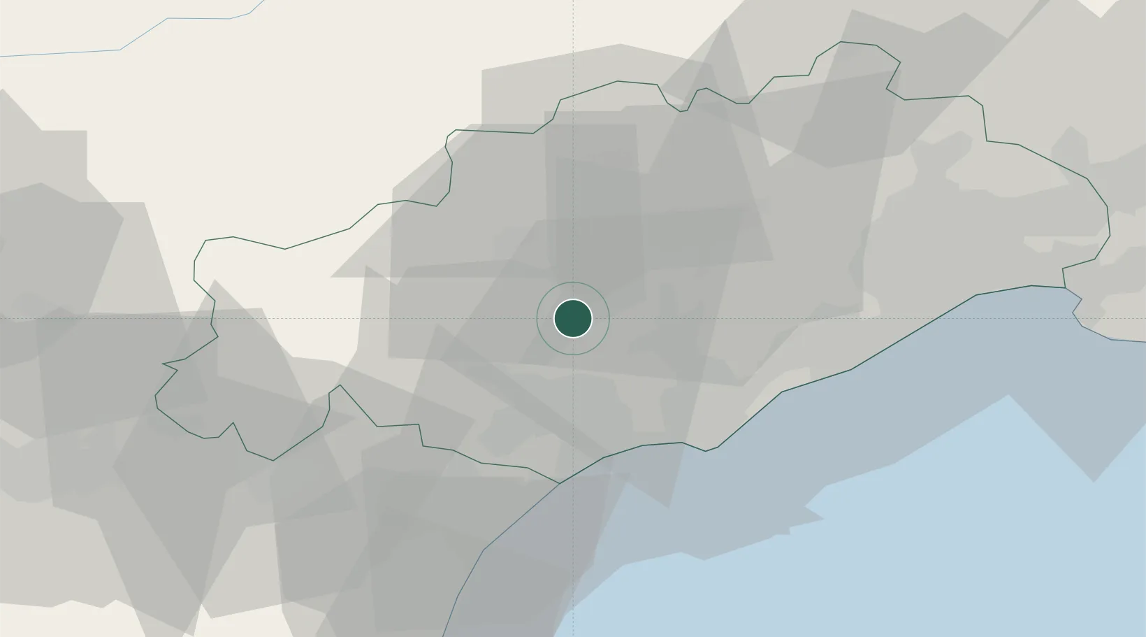
Hub Profile
Place type
Populated place
Region
Occitanie
Population
749
Time zone
Europe/Paris
Elevation
110 m
Location
Nearby Logistics Neighbours
Ports
- 1Sete37 km
- 2Port-La-Nouvelle56 km
- 3Port-Vendres110 km
- 4Port Saint Louis Du Rhone126 km
- 5Fos131 km
Airports
Trade Zones
- 1ZFU Béziers19 km
- 2ZFU Montpellier48 km
- 3ZFU Nîmes94 km
- 4ZFU Perpignan94 km
- 5ZFU Avignon133 km
DatabookThe Record of Consolidated Knowledge
France beyond logistics?