Transport Functions
Multimodal
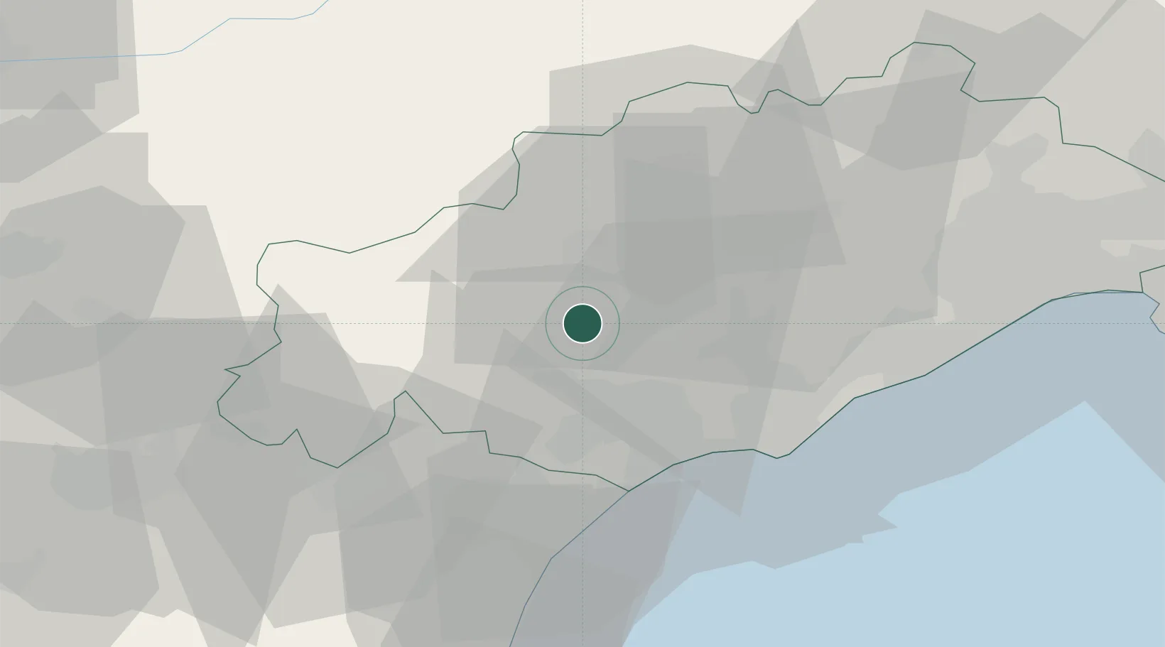
Hub Profile
Place type
Populated place
Region
Occitanie
Population
830
Time zone
Europe/Paris
Elevation
163 m
Location
Nearby Logistics Neighbours
Cities
- 1Laurens3 km
- 2Magalas6 km
- 3Caussiniojouls6 km
- 4Fouzilhon7 km
- 5Roquessels7 km
Ports
- 1Sete45 km
- 2Port-La-Nouvelle54 km
- 3Port-Vendres109 km
- 4Port Saint Louis Du Rhone134 km
- 5Rosas137 km
Airports
Trade Zones
- 1ZFU Béziers19 km
- 2ZFU Montpellier56 km
- 3ZFU Perpignan92 km
- 4ZFU Nîmes101 km
- 5ZFU Toulouse140 km
DatabookThe Record of Consolidated Knowledge
France beyond logistics?