Transport Functions
Multimodal
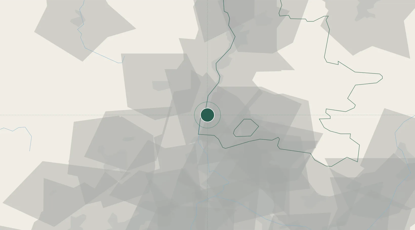
Hub Profile
Place type
Populated place
Region
Rhône-Alpes
Population
4,700
Time zone
Europe/Paris
Elevation
73 m
Location
Nearby Logistics Neighbours
Cities
- 1Les Granges-Gontardes5 km
- 2Allan7 km
- 3Chantemerle-lès-Grignan11 km
- 4Valvignères12 km
- 5Chamaret14 km
Ports
- 1Fos116 km
- 2Port-de-Bouc119 km
- 3Port Saint Louis Du Rhone119 km
- 4Marseille136 km
- 5Sete142 km
Airports
Trade Zones
- 1ZFU Valence54 km
- 2ZFU Avignon56 km
- 3ZFU Nîmes76 km
- 4ZFU Grenoble112 km
- 5ZFU Saint-Etienne113 km
DatabookThe Record of Consolidated Knowledge
France beyond logistics?