UN/LOCODE hub · France
FRZ3M
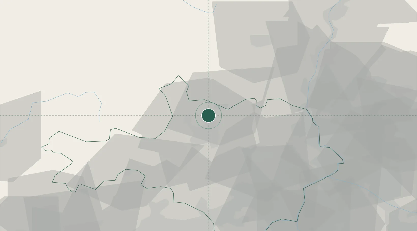
Molières-sur-Cèze
44.2500°, 4.1500°
1,554
Population
2
Transport functions
Transport Functions
Rail
Road
Hub Profile
Place type
Populated place
Region
Occitanie
Population
1,554
Time zone
Europe/Paris
Elevation
160 m
Location
Nearby Logistics Neighbours
Cities
- 1La Grand-Combe10 km
- 2Alès14 km
- 3Sainte-Cécile-d'Andorge15 km
- 4Saussines17 km
- 5Bagard20 km
Ports
- 1Sete101 km
- 2Fos110 km
- 3Port Saint Louis Du Rhone110 km
- 4Port-de-Bouc116 km
- 5Marseille143 km
Airports
Trade Zones
- 1ZFU Nîmes50 km
- 2ZFU Avignon62 km
- 3ZFU Montpellier76 km
- 4ZFU Valence93 km
- 5ZFU Béziers126 km
DatabookThe Record of Consolidated Knowledge
France beyond logistics?