Transport Functions
Road
Multimodal
Hub Profile
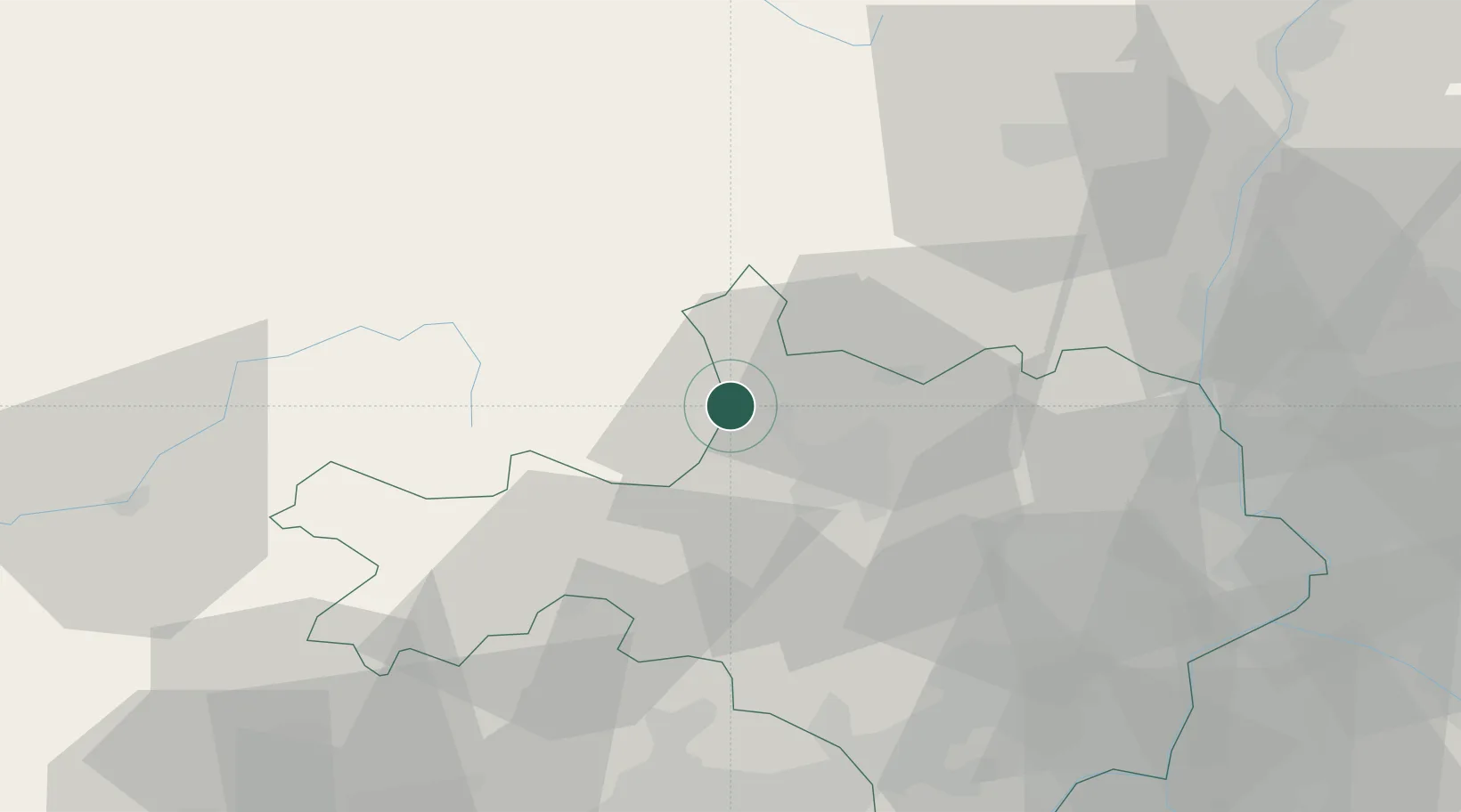
Place type
Populated place
Region
Occitanie
Time zone
Europe/Paris
Elevation
316 m
Location
Nearby Logistics Neighbours
Cities
- 1La Grand-Combe7 km
- 2Florac8 km
- 3Molières-sur-Cèze15 km
- 4Alès16 km
- 5Générargues19 km
Ports
- 1Sete97 km
- 2Port Saint Louis Du Rhone118 km
- 3Fos118 km
- 4Port-de-Bouc125 km
- 5Marseille153 km
Airports
Trade Zones
- 1ZFU Nîmes56 km
- 2ZFU Montpellier72 km
- 3ZFU Avignon75 km
- 4ZFU Valence102 km
- 5ZFU Béziers118 km
DatabookThe Record of Consolidated Knowledge
France beyond logistics?