Transport Functions
Multimodal
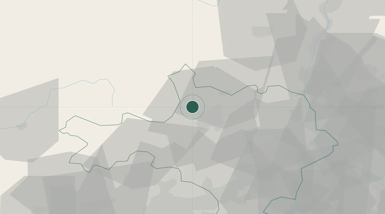
Hub Profile
Place type
Populated place
Region
Occitanie
Time zone
Europe/Paris
Elevation
203 m
Location
Nearby Logistics Neighbours
Cities
- 1Sainte-Cécile-d'Andorge7 km
- 2Molières-sur-Cèze10 km
- 3Alès10 km
- 4Florac15 km
- 5Bagard15 km
Ports
- 1Sete95 km
- 2Port Saint Louis Du Rhone112 km
- 3Fos112 km
- 4Port-de-Bouc119 km
- 5Marseille147 km
Airports
Trade Zones
- 1ZFU Nîmes50 km
- 2ZFU Avignon68 km
- 3ZFU Montpellier70 km
- 4ZFU Valence102 km
- 5ZFU Béziers118 km
DatabookThe Record of Consolidated Knowledge
France beyond logistics?