Transport Functions
Multimodal
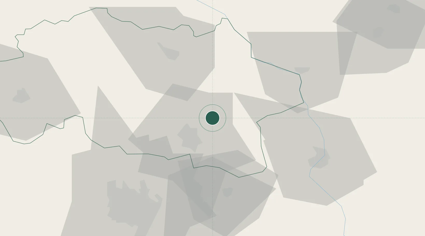
Hub Profile
Place type
Populated place
Region
Rhône-Alpes
Population
410
Time zone
Europe/Paris
Elevation
315 m
Location
Nearby Logistics Neighbours
Cities
- 1Creuzier-le-Neuf11 km
- 2Vichy16 km
- 3Abrest19 km
- 4Saint-Pourçain-sur-Sioule20 km
- 5Saulcet24 km
Ports
- 1Sete317 km
- 2Fos332 km
- 3Port Saint Louis Du Rhone334 km
- 4Port-de-Bouc336 km
- 5Tonnay Charente345 km
Airports
Trade Zones
- 1ZFU Clermont-Ferrand63 km
- 2ZFU Saint-Etienne109 km
- 3ZFU Lyon 9e111 km
- 4ZFU Rillieux-la-Pape112 km
- 5ZFU Vénissieux118 km
DatabookThe Record of Consolidated Knowledge
France beyond logistics?