Transport Functions
Road
Multimodal
Hub Profile
Place type
Populated place
Region
Rhône-Alpes
Population
978
Time zone
Europe/Paris
Elevation
281 m
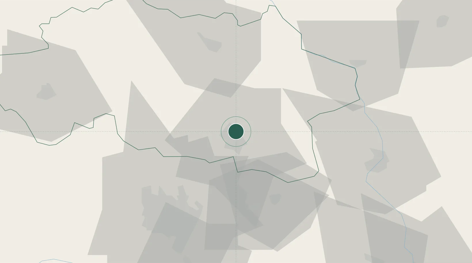
Location
Nearby Logistics Neighbours
Cities
- 1Vichy6 km
- 2Abrest9 km
- 3Périgny11 km
- 4Orcet16 km
- 5Saint-Pourçain-sur-Sioule17 km
Ports
- 1Sete310 km
- 2Fos328 km
- 3Port Saint Louis Du Rhone330 km
- 4Port-de-Bouc332 km
- 5Ambes336 km
Airports
Trade Zones
- 1ZFU Clermont-Ferrand53 km
- 2ZFU Saint-Etienne107 km
- 3ZFU Lyon 9e114 km
- 4ZFU Rillieux-la-Pape116 km
- 5ZFU Vénissieux121 km
DatabookThe Record of Consolidated Knowledge
France beyond logistics?