Transport Functions
Multimodal
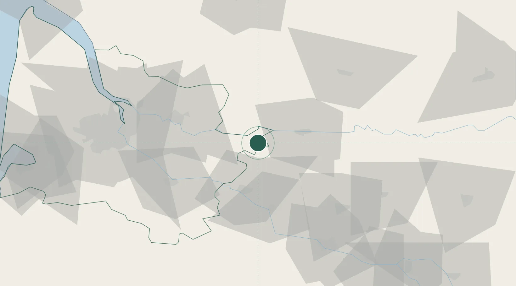
Hub Profile
Place type
Populated place
Region
Nouvelle-Aquitaine
Time zone
Europe/Paris
Elevation
83 m
Location
Nearby Logistics Neighbours
Cities
- 1Saint-André-et-Appelles3 km
- 2Riocaud3 km
- 3Villeneuve-de-Duras6 km
- 4Port-Sainte-Foy-et-Ponchapt6 km
- 5Monestier7 km
Airports
Trade Zones
- 1Port de Bordeaux62 km
- 2ZFU Hauts de Garonne64 km
- 3ZFU Toulouse163 km
- 4ZFU La Rochelle190 km
- 5Depósito Franco de Pasajes (Guipúzcoa)237 km
DatabookThe Record of Consolidated Knowledge
France beyond logistics?