Transport Functions
Rail
Road
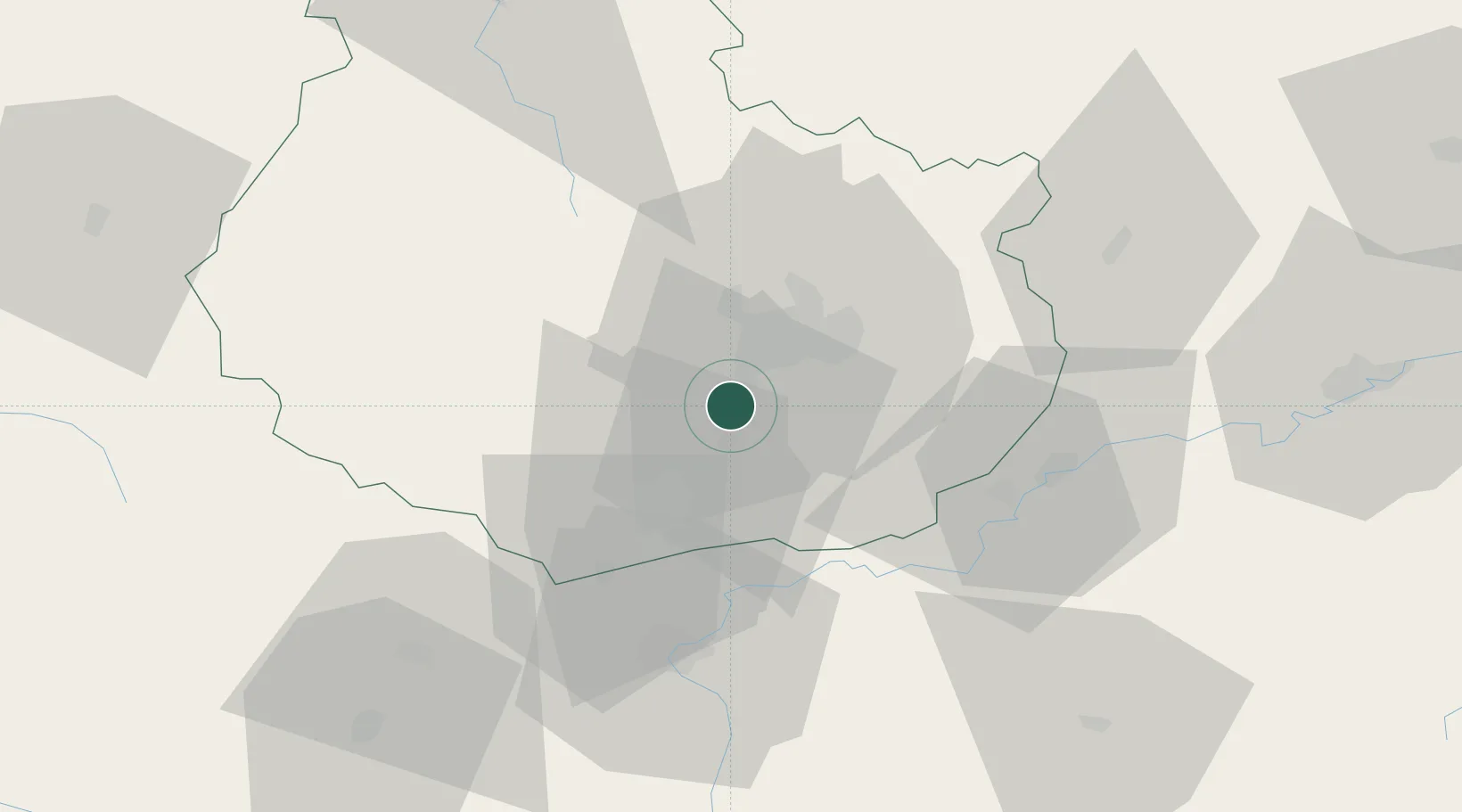
Hub Profile
Place type
Populated place
Region
Bourgogne
Population
703
Time zone
Europe/Paris
Elevation
268 m
Location
Nearby Logistics Neighbours
Cities
- 1Chambolle-Musigny2 km
- 2Vougeot4 km
- 3Gilly-lès-Cîteaux4 km
- 4Flagey-Echézeaux4 km
- 5Concoeur-et-Corboin5 km
Ports
- 1Port Of Rouen382 km
- 2Bruxelles410 km
- 3Saint-Valery-Sur-Somme413 km
- 4Le Treport414 km
- 5Dieppe417 km
Airports
- 1Dijon Longvic airport12 km
- 2Dole Tavaux Airport39 km
- 3Mâcon-Charnay Airfield102 km
- 4Vesoul-Frotey Airfield105 km
- 5Saint-Yan Airport114 km
DatabookThe Record of Consolidated Knowledge
France beyond logistics?