UN/LOCODE hub · France
FRVGB

Vougeot

47.1667°, 4.9667°
221
Population
1
Transport functions

Transport Functions

Multimodal
UN/LOCODE

Hub Profile

Place type
Populated place
GeoNames
Region
Bourgogne
GeoNames
Population
221
GeoNames
Time zone
Europe/Paris
GeoNames
Elevation
237 m
GeoNames

Location

Location of FRVGB
Natural Earth 10m (public domain) · Bourgogne · FRVGB · 47.17, 4.97GoogleOSMYandex

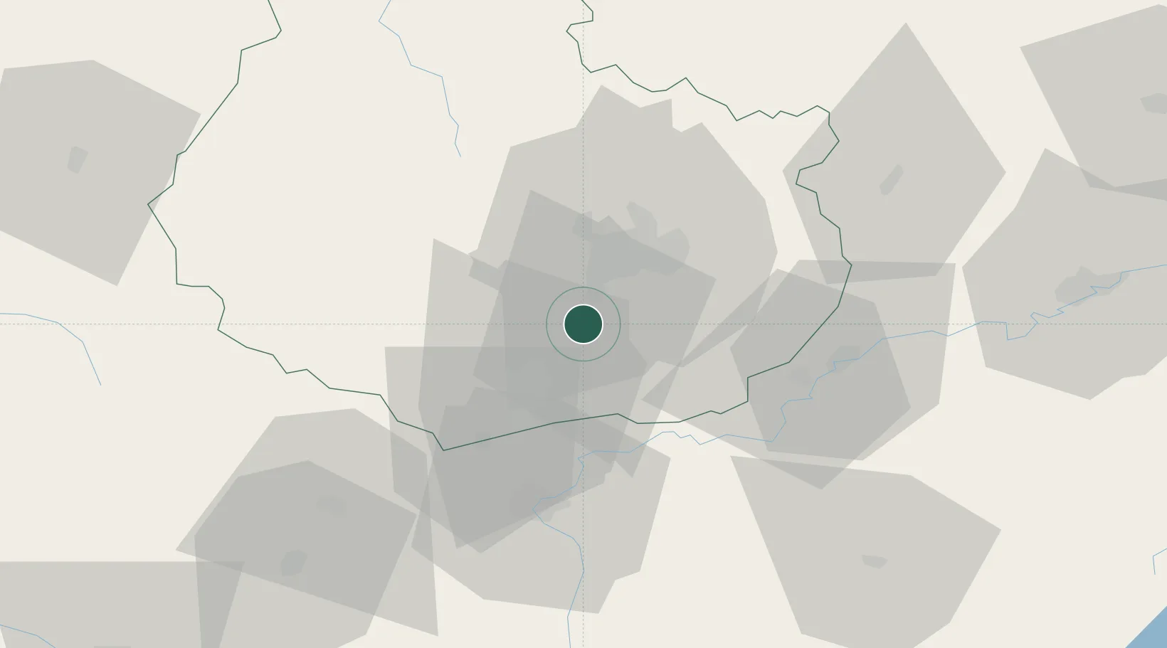
Nearby Logistics Neighbours

Cities
  1. 1Gilly-lès-Cîteaux1 km
  2. 2Flagey-Echézeaux1 km
  3. 3Chambolle-Musigny2 km
  4. 4Morey-Saint-Denis4 km
  5. 5Concoeur-et-Corboin4 km
Nearest neighbours — logibook spatial index (haversine) over the source coordinates
Ports
  1. 1Port Of Rouen384 km
  2. 2Bruxelles414 km
  3. 3Saint-Valery-Sur-Somme416 km
  4. 4Fos417 km
  5. 5Le Treport417 km
Nearest neighbours — logibook spatial index (haversine) over the source coordinates
Airports
  1. 1Dijon Longvic airport15 km
  2. 2Dole Tavaux Airport38 km
  3. 3Mâcon-Charnay Airfield98 km
  4. 4Vesoul-Frotey Airfield107 km
  5. 5Saint-Yan Airport111 km
Nearest neighbours — logibook spatial index (haversine) over the source coordinates
Trade Zones
  1. 1ZFU Chenôve14 km
  2. 2ZFU Besancon79 km
  3. 3PESA - Port-Franc et Entrepôts de Lausanne-Chavornay SA131 km
  4. 4Geneva Cointrin International Airport Free Port136 km
  5. 5Port Franc de Geneve139 km
Nearest neighbours — logibook spatial index (haversine) over the source coordinates
DatabookThe Record of Consolidated Knowledge
France beyond logistics?
Browse databook

All Sources

LocationsUN/LOCODE
UN/LOCODE — free
LocationsGeoNames
CC BY 4.0
Portsthe NGA World Port Index
Public domain (US gov)
AirportsOurAirports
Public domain
Trade Zonesthe World Bank SEZ database
CC BY 4.0
Trade ZonesOpen Zone Map
CC BY
← France locations