Transport Functions
Port
Multimodal
Hub Profile
Place type
Populated place
Region
Bourgogne
Time zone
Europe/Paris
Elevation
400 m
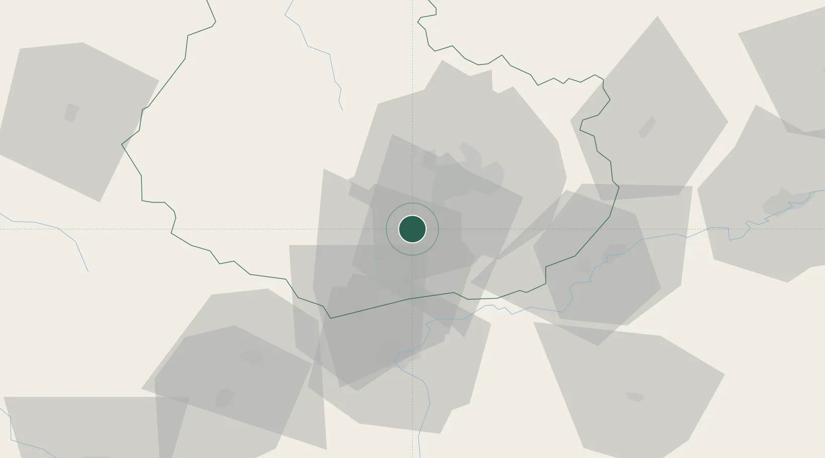
Location
Nearby Logistics Neighbours
Cities
- 1Curtil-Vergy3 km
- 2Chambolle-Musigny3 km
- 3L'Étang-Vergy3 km
- 4Villars-Fontaine3 km
- 5Vougeot4 km
Ports
- 1Port Of Rouen381 km
- 2Bruxelles414 km
- 3Saint-Valery-Sur-Somme414 km
- 4Le Treport415 km
- 5Fos417 km
Airports
- 1Dijon Longvic airport17 km
- 2Dole Tavaux Airport41 km
- 3Mâcon-Charnay Airfield97 km
- 4Saint-Yan Airport108 km
- 5Vesoul-Frotey Airfield110 km
Trade Zones
DatabookThe Record of Consolidated Knowledge
France beyond logistics?