Transport Functions
Multimodal
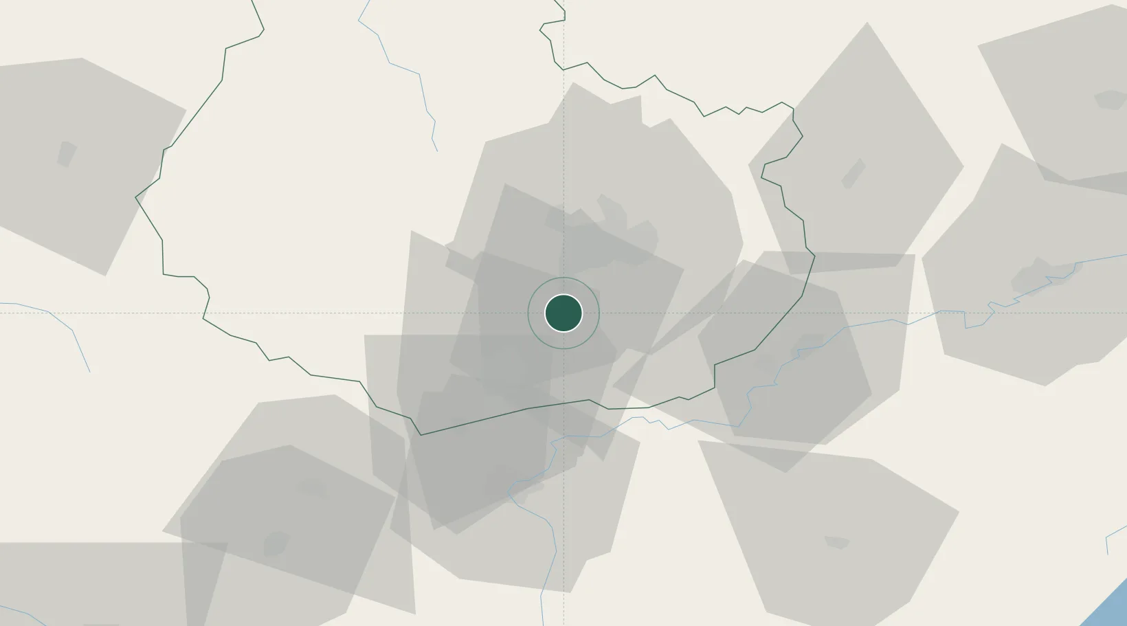
Hub Profile
Place type
Populated place
Region
Bourgogne
Population
586
Time zone
Europe/Paris
Elevation
220 m
Location
Nearby Logistics Neighbours
Cities
- 1Flagey-Echézeaux0 km
- 2Vougeot1 km
- 3Chambolle-Musigny3 km
- 4Morey-Saint-Denis4 km
- 5Boncourt-le-Bois4 km
Ports
- 1Port Of Rouen385 km
- 2Bruxelles414 km
- 3Saint-Valery-Sur-Somme417 km
- 4Fos417 km
- 5Le Treport418 km
Airports
- 1Dijon Longvic airport14 km
- 2Dole Tavaux Airport37 km
- 3Mâcon-Charnay Airfield98 km
- 4Vesoul-Frotey Airfield106 km
- 5Saint-Yan Airport112 km
Trade Zones
DatabookThe Record of Consolidated Knowledge
France beyond logistics?