Transport Functions
Multimodal
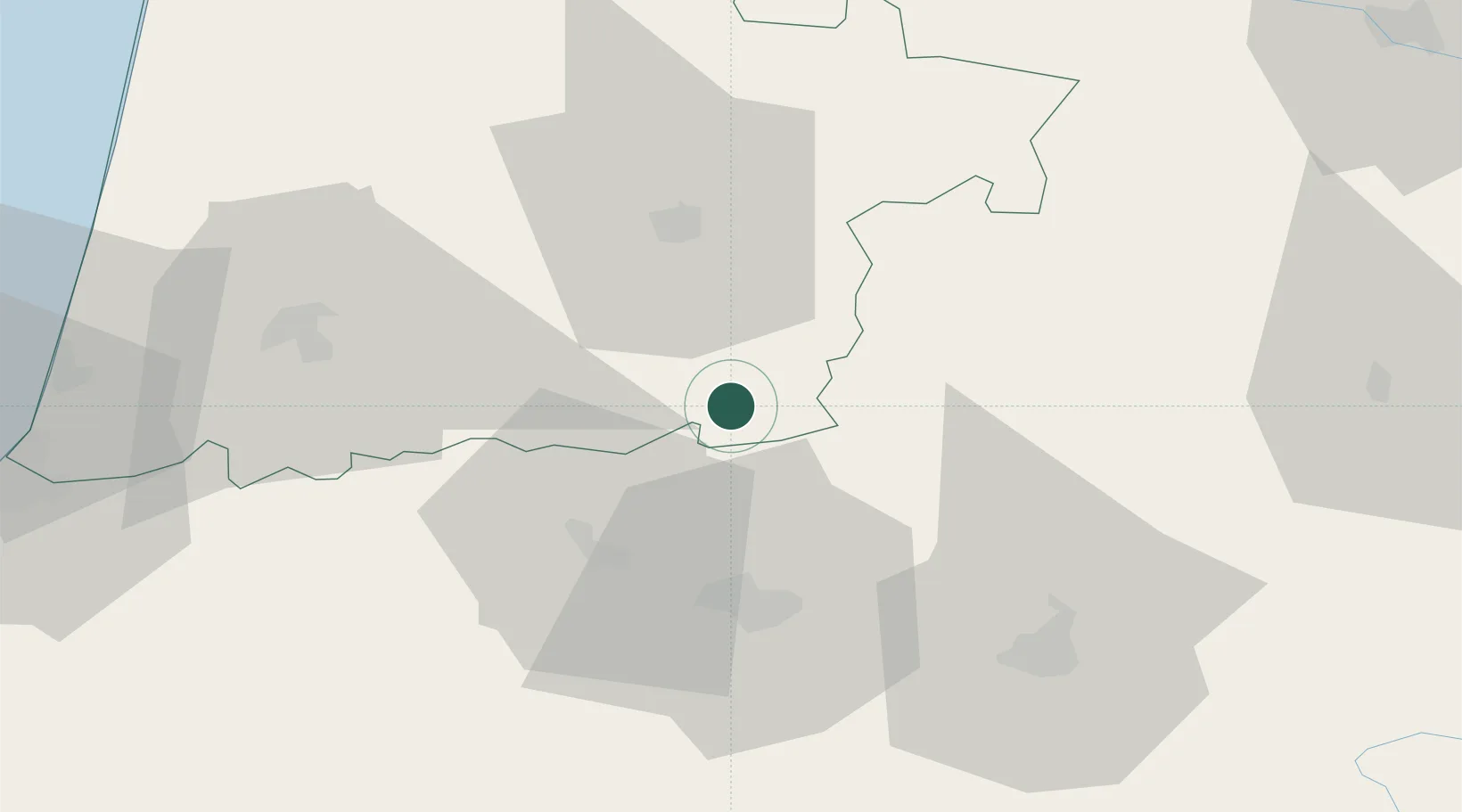
Hub Profile
Place type
Populated place
Region
Nouvelle-Aquitaine
Population
109
Time zone
Europe/Paris
Elevation
150 m
Location
Nearby Logistics Neighbours
Cities
- 1Cabidos9 km
- 2Madiran11 km
- 3Garlin13 km
- 4Aire-sur-l'Adour14 km
- 5Vic-Fezensac19 km
Ports
- 1Bayonne87 km
- 2Puerto De Pasajes128 km
- 3Bordeaux140 km
- 4Ambes156 km
- 5Blaye170 km
Airports
Trade Zones
- 1Depósito Franco de Pasajes (Guipúzcoa)127 km
- 2ZFU Hauts de Garonne136 km
- 3Port de Bordeaux144 km
- 4ZFU Toulouse148 km
- 5Depósito Franco de Bilbao215 km
DatabookThe Record of Consolidated Knowledge
France beyond logistics?