Transport Functions
Multimodal
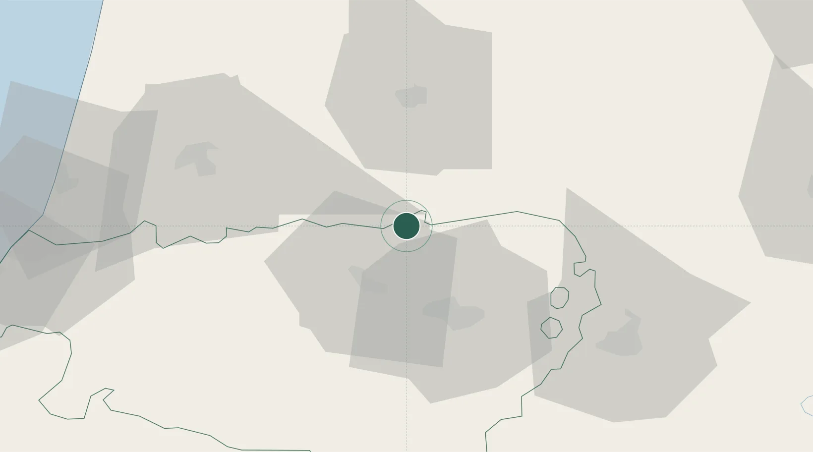
Hub Profile
Place type
Populated place
Region
Occitanie
Population
566
Time zone
Europe/Paris
Elevation
167 m
Location
Nearby Logistics Neighbours
Cities
- 1Cabidos3 km
- 2Payros-Cazautets11 km
- 3Billère13 km
- 4Sault-de-Navailles13 km
- 5Uzein18 km
Ports
- 1Bayonne78 km
- 2Puerto De Pasajes118 km
- 3Bordeaux147 km
- 4Ambes163 km
- 5Blaye177 km
Airports
Trade Zones
- 1Depósito Franco de Pasajes (Guipúzcoa)118 km
- 2ZFU Hauts de Garonne142 km
- 3Port de Bordeaux151 km
- 4ZFU Toulouse157 km
- 5Depósito Franco de Bilbao207 km
DatabookThe Record of Consolidated Knowledge
France beyond logistics?