Transport Functions
Port
Multimodal
Hub Profile
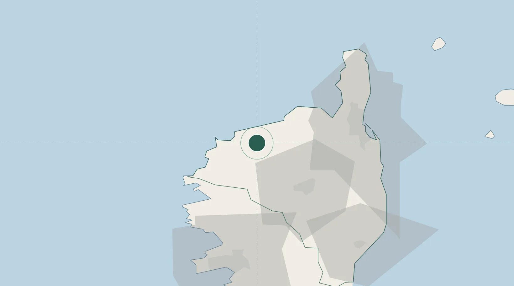
Place type
Populated place
Region
Corsica
Population
278
Time zone
Europe/Paris
Elevation
388 m
Location
Nearby Logistics Neighbours
Cities
- 1Feliceto2 km
- 2Zilia4 km
- 3L'Île-Rousse9 km
- 4Calvi14 km
- 5Ponte Leccia25 km
Ports
- 1L'ile Rousse9 km
- 2Calvi14 km
- 3Bastia47 km
- 4Port D' Ajaccio72 km
- 5Port De Propriano96 km
Airports
Trade Zones
- 1ZFU LAriane188 km
- 2Sardinia Special Economic Zone Area218 km
- 3ZFU Toulon251 km
- 4ZFU La Seyne-sur-Mer258 km
- 5ZFU Marseille 15e et 16e302 km
DatabookThe Record of Consolidated Knowledge
France beyond logistics?