Transport Functions
Port
Airport
Hub Profile
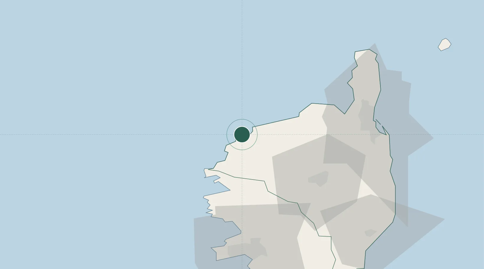
Place type
District seat
Region
Corsica
Population
5,477
Time zone
Europe/Paris
Elevation
4 m
Location
Nearby Logistics Neighbours
Cities
- 1Zilia14 km
- 2Muro14 km
- 3Feliceto16 km
- 4L'Île-Rousse17 km
- 5Ota33 km
Ports
- 1L'ile Rousse17 km
- 2Bastia59 km
- 3Port D' Ajaccio72 km
- 4Port De Propriano99 km
- 5Porto Vecchio118 km
Airports
Trade Zones
- 1ZFU LAriane177 km
- 2Sardinia Special Economic Zone Area221 km
- 3ZFU Toulon237 km
- 4ZFU La Seyne-sur-Mer244 km
- 5ZFU Marseille 15e et 16e288 km
DatabookThe Record of Consolidated Knowledge
France beyond logistics?