Transport Functions
Port
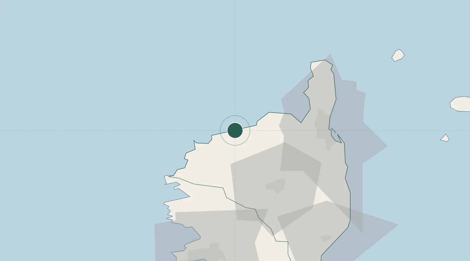
Hub Profile
Place type
Populated place
Region
Corsica
Population
2,774
Time zone
Europe/Paris
Elevation
6 m
Location
Nearby Logistics Neighbours
Cities
- 1Muro9 km
- 2Feliceto11 km
- 3Zilia13 km
- 4Calvi17 km
- 5Ponte Leccia29 km
Ports
- 1Calvi17 km
- 2Bastia43 km
- 3Port D' Ajaccio81 km
- 4Port De Propriano106 km
- 5Portoferraio116 km
Airports
Trade Zones
- 1ZFU LAriane182 km
- 2Sardinia Special Economic Zone Area227 km
- 3ZFU Toulon250 km
- 4ZFU La Seyne-sur-Mer257 km
- 5ZFU Marseille 15e et 16e301 km
DatabookThe Record of Consolidated Knowledge
France beyond logistics?