Transport Functions
Port
Multimodal
Hub Profile
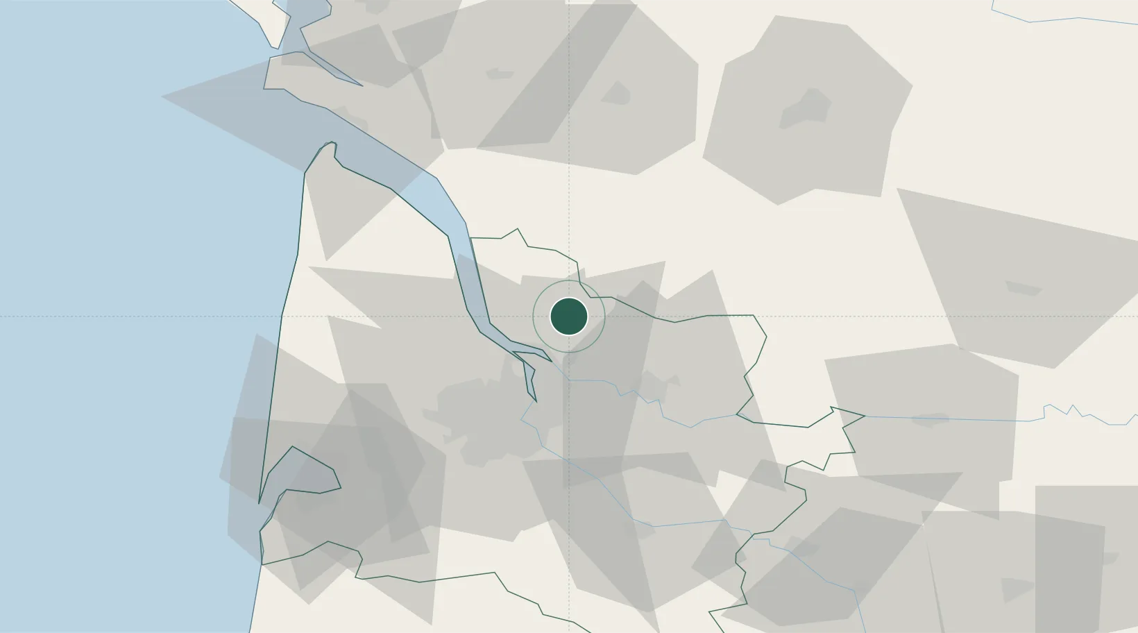
Place type
Populated place
Region
Nouvelle-Aquitaine
Population
723
Time zone
Europe/Paris
Elevation
41 m
Location
Nearby Logistics Neighbours
Cities
- 1Saint-Savin2 km
- 2Saint-Mariens3 km
- 3Cézac3 km
- 4Saint-Savin-de-Blay4 km
- 5Saint-Christoly-de-Blaye4 km
Airports
Trade Zones
- 1Port de Bordeaux24 km
- 2ZFU Hauts de Garonne34 km
- 3ZFU La Rochelle130 km
- 4ZFU Toulouse226 km
- 5Depósito Franco de Pasajes (Guipúzcoa)232 km
DatabookThe Record of Consolidated Knowledge
France beyond logistics?