Transport Functions
Rail
Road
Multimodal
Hub Profile
Region
33
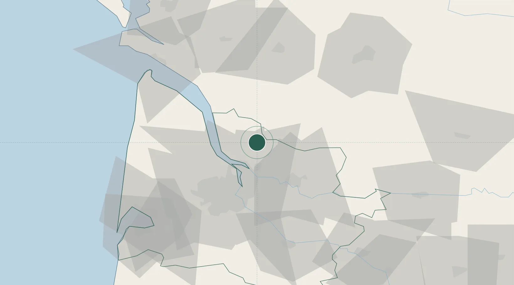
Location
Nearby Logistics Neighbours
Cities
- 1Saint-Savin2 km
- 2Civrac-de-Blaye4 km
- 3Saint-Christoly-de-Blaye4 km
- 4Saint-Mariens5 km
- 5Cézac6 km
Airports
Trade Zones
- 1Port de Bordeaux28 km
- 2ZFU Hauts de Garonne37 km
- 3ZFU La Rochelle127 km
- 4ZFU Toulouse228 km
- 5Depósito Franco de Pasajes (Guipúzcoa)235 km
DatabookThe Record of Consolidated Knowledge
France beyond logistics?