Transport Functions
Port
Rail
Road
Multimodal
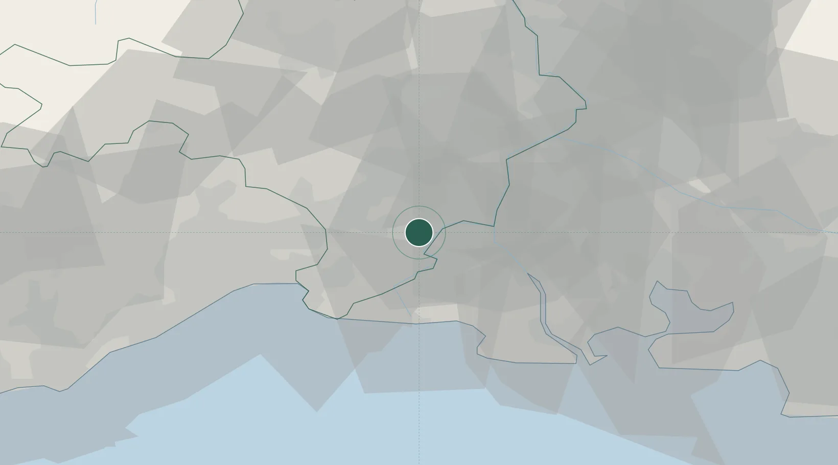
Hub Profile
Place type
Populated place
Region
Occitanie
Population
13,231
Time zone
Europe/Paris
Elevation
12 m
Location
Nearby Logistics Neighbours
Cities
- 1Beauvoisin9 km
- 2Garons9 km
- 3Bellegarde10 km
- 4Bernis13 km
- 5Vestric-et-Candiac13 km
Ports
- 1Port Saint Louis Du Rhone46 km
- 2Fos48 km
- 3Port-de-Bouc56 km
- 4Sete66 km
- 5Marseille87 km
Airports
Trade Zones
- 1ZFU Nîmes17 km
- 2ZFU Avignon43 km
- 3ZFU Montpellier47 km
- 4ZFU Saint-Barthélémy, Le Canet, Delorme-Paternelle80 km
- 5ZFU Marseille 15e et 16e86 km
DatabookThe Record of Consolidated Knowledge
France beyond logistics?