UN/LOCODE hub · France
FRV2C
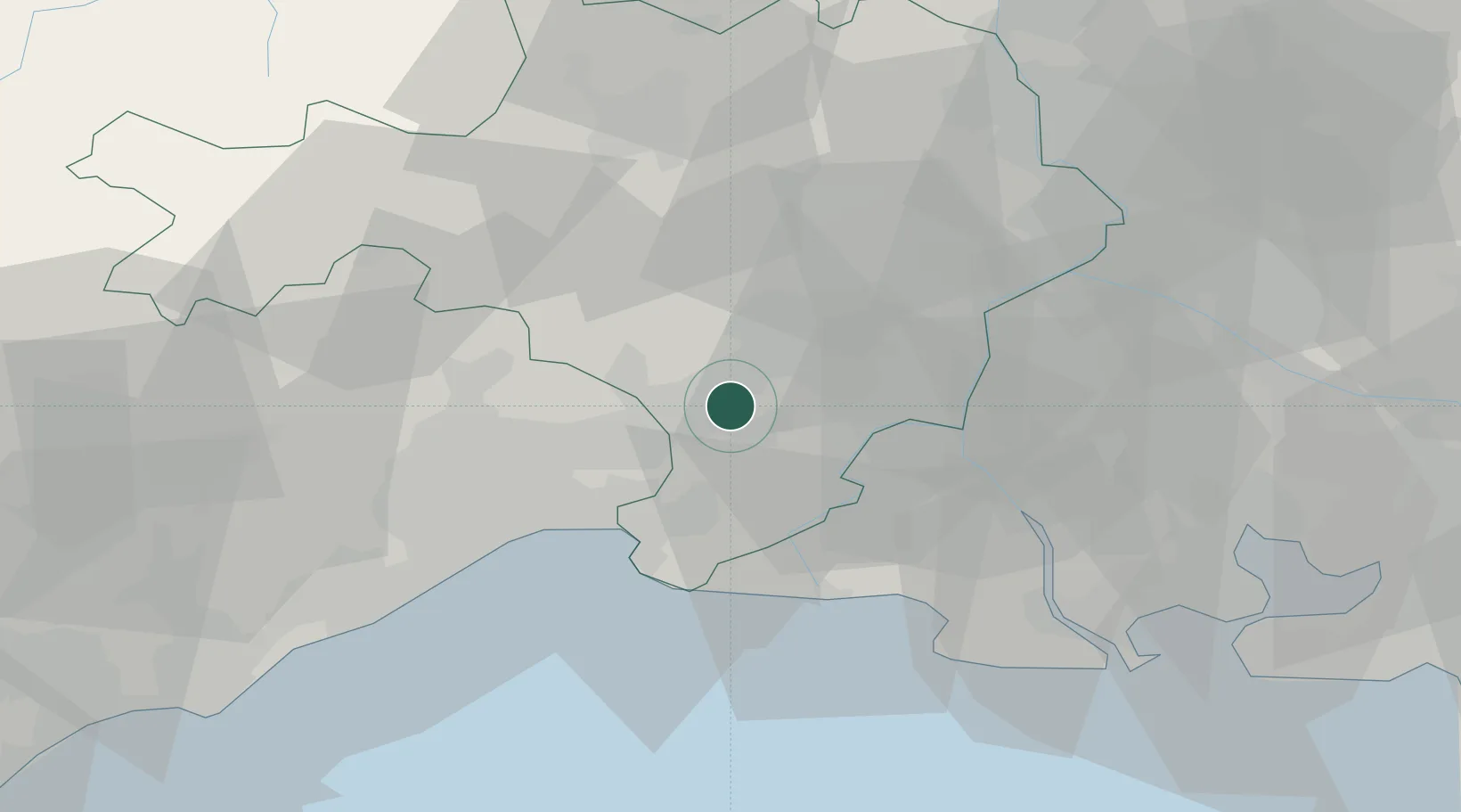
Vestric-et-Candiac
43.7333°, 4.2667°
1,429
Population
1
Transport functions
Transport Functions
Multimodal
Hub Profile
Place type
Populated place
Region
Occitanie
Population
1,429
Time zone
Europe/Paris
Elevation
17 m
Location
Nearby Logistics Neighbours
Cities
- 1Bernis2 km
- 2Montpellier4 km
- 3Beauvoisin4 km
- 4Mus5 km
- 5Milhaud6 km
Ports
- 1Sete59 km
- 2Port Saint Louis Du Rhone59 km
- 3Fos61 km
- 4Port-de-Bouc69 km
- 5Marseille100 km
Airports
Trade Zones
- 1ZFU Nîmes12 km
- 2ZFU Montpellier37 km
- 3ZFU Avignon49 km
- 4ZFU Saint-Barthélémy, Le Canet, Delorme-Paternelle93 km
- 5ZFU Béziers96 km
DatabookThe Record of Consolidated Knowledge
France beyond logistics?