Transport Functions
Road
Multimodal
Hub Profile
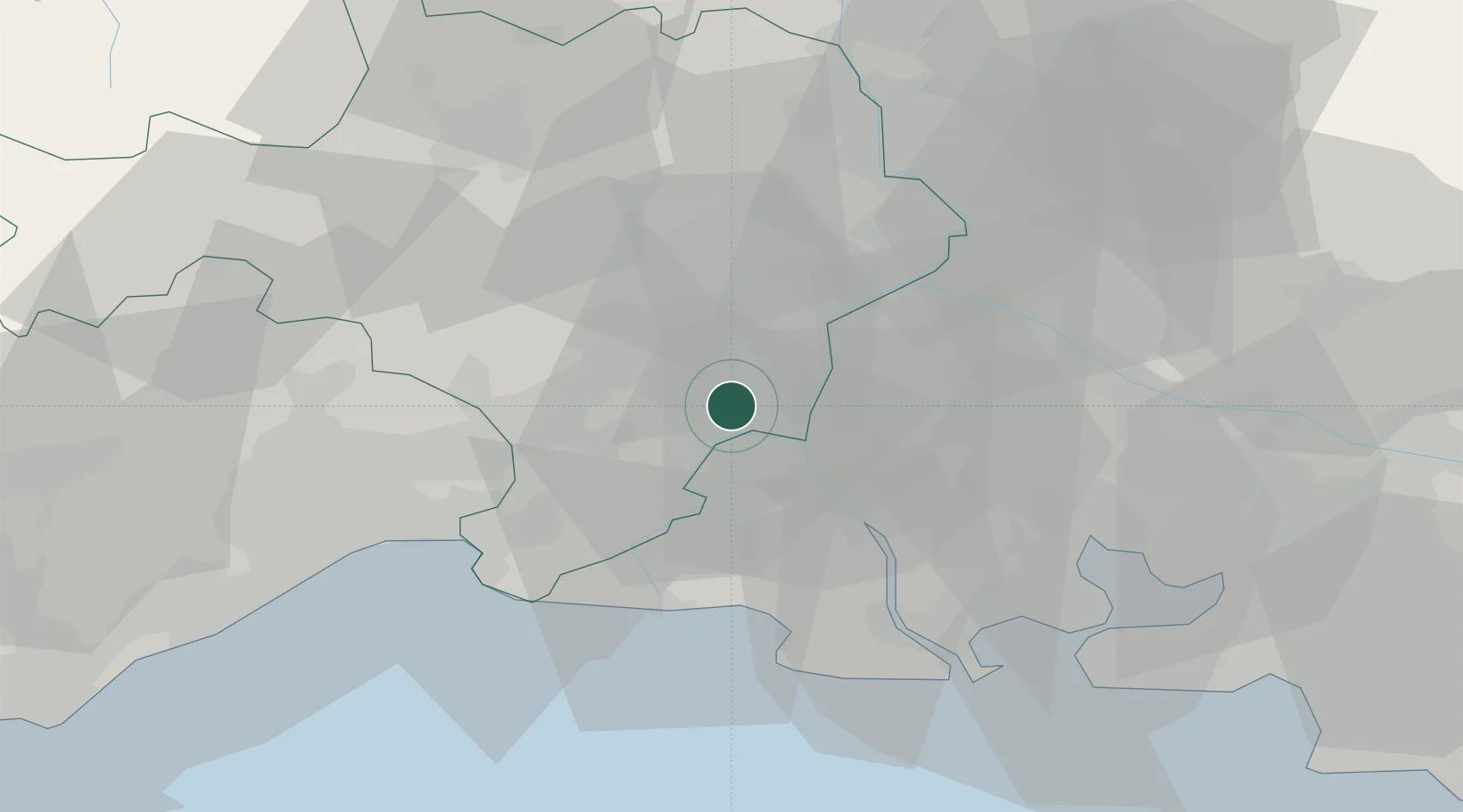
Place type
Populated place
Region
Occitanie
Population
5,340
Time zone
Europe/Paris
Elevation
11 m
Location
Nearby Logistics Neighbours
Cities
- 1Garons7 km
- 2Redessan9 km
- 3Saint-Gilles10 km
- 4Jonquières-Saint-Vincent11 km
- 5Arles12 km
Ports
- 1Port Saint Louis Du Rhone48 km
- 2Fos48 km
- 3Port-de-Bouc55 km
- 4Sete75 km
- 5Marseille85 km
Airports
Trade Zones
- 1ZFU Nîmes15 km
- 2ZFU Avignon33 km
- 3ZFU Montpellier55 km
- 4ZFU Saint-Barthélémy, Le Canet, Delorme-Paternelle79 km
- 5ZFU Marseille 15e et 16e84 km
DatabookThe Record of Consolidated Knowledge
France beyond logistics?