Transport Functions
Road
Multimodal
Hub Profile
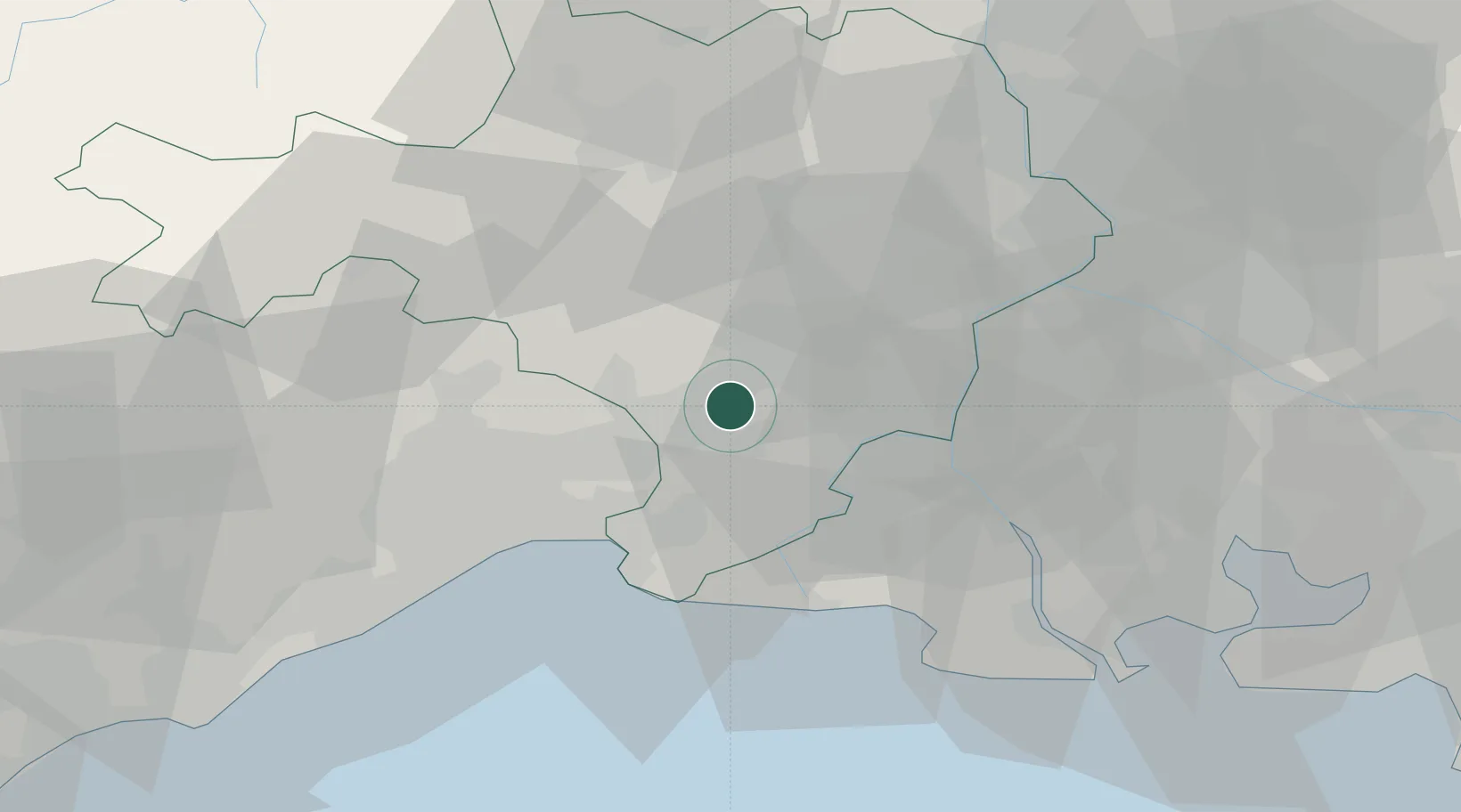
Place type
Populated place
Region
Occitanie
Population
2,882
Time zone
Europe/Paris
Elevation
25 m
Location
Nearby Logistics Neighbours
Cities
- 1Vestric-et-Candiac2 km
- 2Milhaud4 km
- 3Beauvoisin5 km
- 4Nages-et-Solorgues6 km
- 5Montpellier6 km
Ports
- 1Port Saint Louis Du Rhone59 km
- 2Fos61 km
- 3Sete61 km
- 4Port-de-Bouc69 km
- 5Marseille100 km
Airports
Trade Zones
- 1ZFU Nîmes10 km
- 2ZFU Montpellier39 km
- 3ZFU Avignon47 km
- 4ZFU Saint-Barthélémy, Le Canet, Delorme-Paternelle93 km
- 5ZFU Béziers98 km
DatabookThe Record of Consolidated Knowledge
France beyond logistics?