Transport Functions
Multimodal
Hub Profile
Place type
Populated place
Region
Occitanie
Population
4,019
Time zone
Europe/Paris
Elevation
95 m
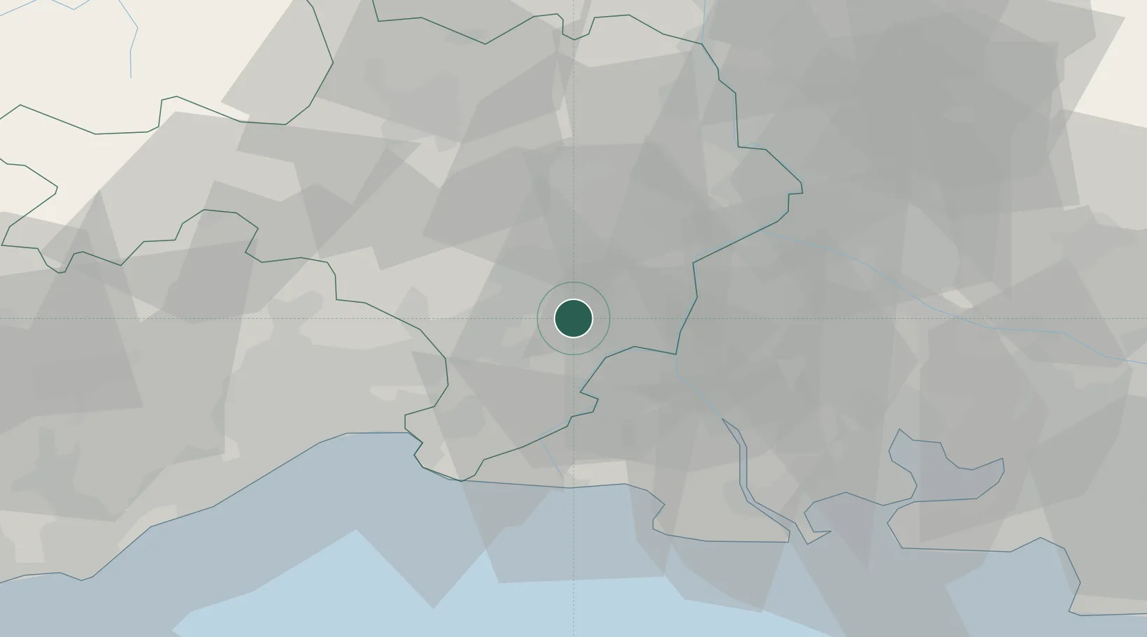
Location
Nearby Logistics Neighbours
Cities
- 1Bellegarde7 km
- 2Nîmes8 km
- 3Saint-Gilles9 km
- 4Milhaud10 km
- 5Beauvoisin10 km
Ports
- 1Port Saint Louis Du Rhone53 km
- 2Fos54 km
- 3Port-de-Bouc61 km
- 4Sete71 km
- 5Marseille92 km
Airports
Trade Zones
- 1ZFU Nîmes9 km
- 2ZFU Avignon37 km
- 3ZFU Montpellier49 km
- 4ZFU Saint-Barthélémy, Le Canet, Delorme-Paternelle86 km
- 5ZFU Marseille 15e et 16e90 km
DatabookThe Record of Consolidated Knowledge
France beyond logistics?