Transport Functions
Multimodal
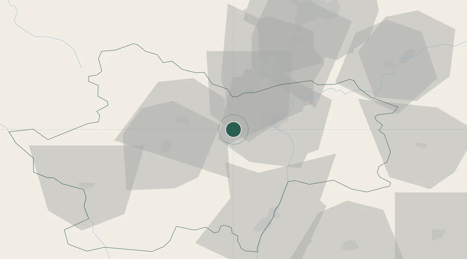
Hub Profile
Place type
Populated place
Region
Bourgogne
Population
550
Time zone
Europe/Paris
Elevation
339 m
Location
Nearby Logistics Neighbours
Cities
- 1Rosey1 km
- 2Bissey-sous-Cruchaud2 km
- 3Jambles2 km
- 4Sassangy5 km
- 5Givry6 km
Ports
- 1Fos371 km
- 2Port-de-Bouc373 km
- 3Port Saint Louis Du Rhone375 km
- 4Sete380 km
- 5Marseille386 km
Airports
- 1Mâcon-Charnay Airfield51 km
- 2Saint-Yan Airport63 km
- 3Dole Tavaux Airport65 km
- 4Dijon Longvic airport65 km
- 5Roanne-Renaison Airport94 km
Trade Zones
- 1ZFU Chenôve64 km
- 2ZFU Rillieux-la-Pape104 km
- 3ZFU Lyon 9e109 km
- 4ZFU Vaulx-en-Velin109 km
- 5ZFU Besancon114 km
DatabookThe Record of Consolidated Knowledge
France beyond logistics?