UN/LOCODE hub · France
FRBVB
Bissey-sous-Cruchaud
46.7333°, 4.6833°
338
Population
2
Transport functions
Transport Functions
Road
Multimodal
Hub Profile
Place type
Populated place
Region
Bourgogne
Population
338
Time zone
Europe/Paris
Elevation
313 m
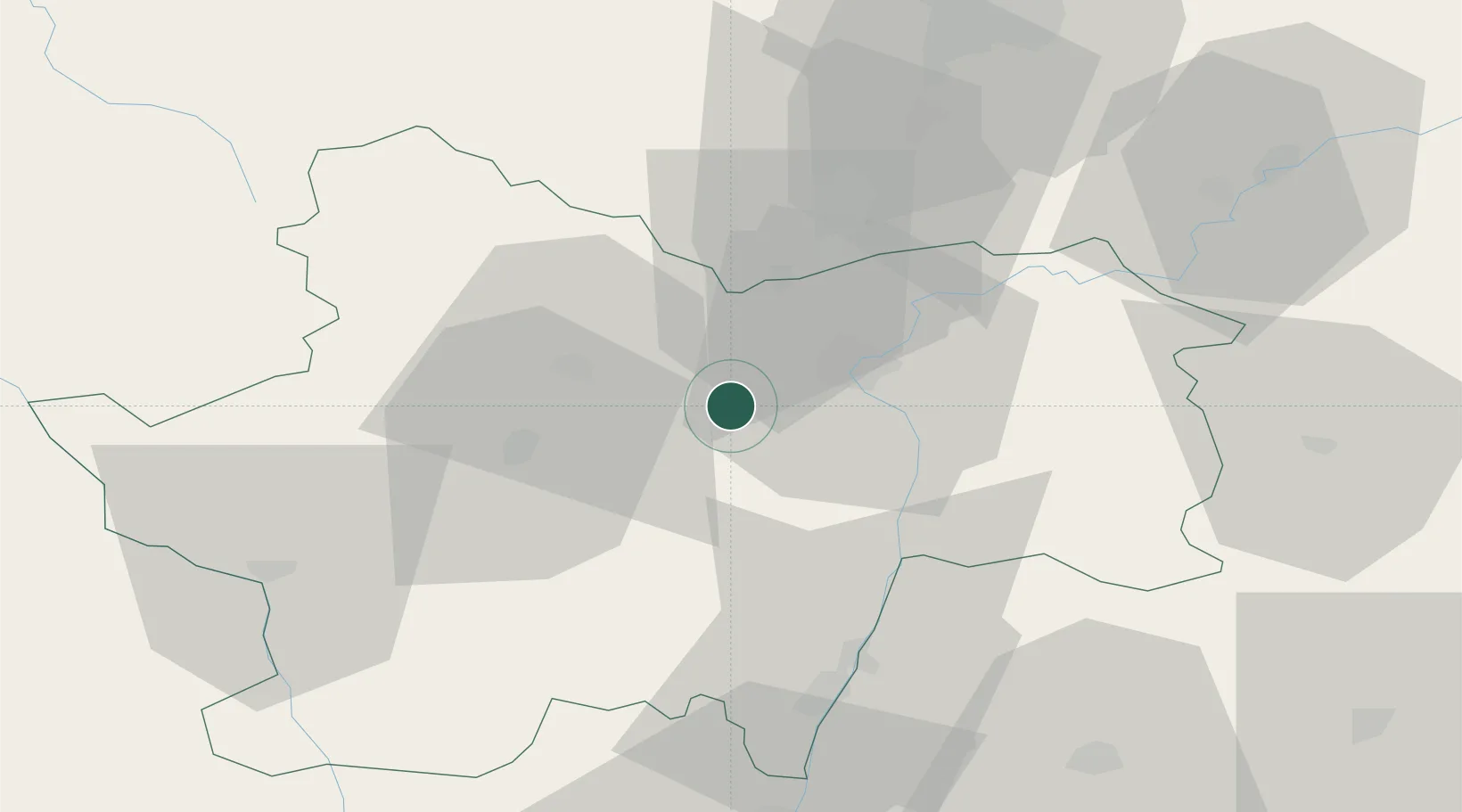
Location
Nearby Logistics Neighbours
Cities
- 1Moroges2 km
- 2Rosey2 km
- 3Jambles4 km
- 4Sassangy4 km
- 5Saint-Vallerin6 km
Ports
- 1Fos369 km
- 2Port-de-Bouc371 km
- 3Port Saint Louis Du Rhone373 km
- 4Sete379 km
- 5Marseille384 km
Airports
- 1Mâcon-Charnay Airfield50 km
- 2Saint-Yan Airport62 km
- 3Dole Tavaux Airport66 km
- 4Dijon Longvic airport67 km
- 5Roanne-Renaison Airport92 km
Trade Zones
- 1ZFU Chenôve66 km
- 2ZFU Rillieux-la-Pape102 km
- 3ZFU Lyon 9e107 km
- 4ZFU Vaulx-en-Velin108 km
- 5ZFU Besancon115 km
DatabookThe Record of Consolidated Knowledge
France beyond logistics?