UN/LOCODE hub · France
FRYYG

Sassangy

46.7167°, 4.6333°
150
Population
1
Transport functions

Transport Functions

Multimodal
UN/LOCODE

Hub Profile

Place type
Populated place
GeoNames
Region
Bourgogne
GeoNames
Population
150
GeoNames
Time zone
Europe/Paris
GeoNames
Elevation
343 m
GeoNames

Location

Location of FRYYG
Natural Earth 10m (public domain) · Bourgogne · FRYYG · 46.72, 4.63GoogleOSMYandex

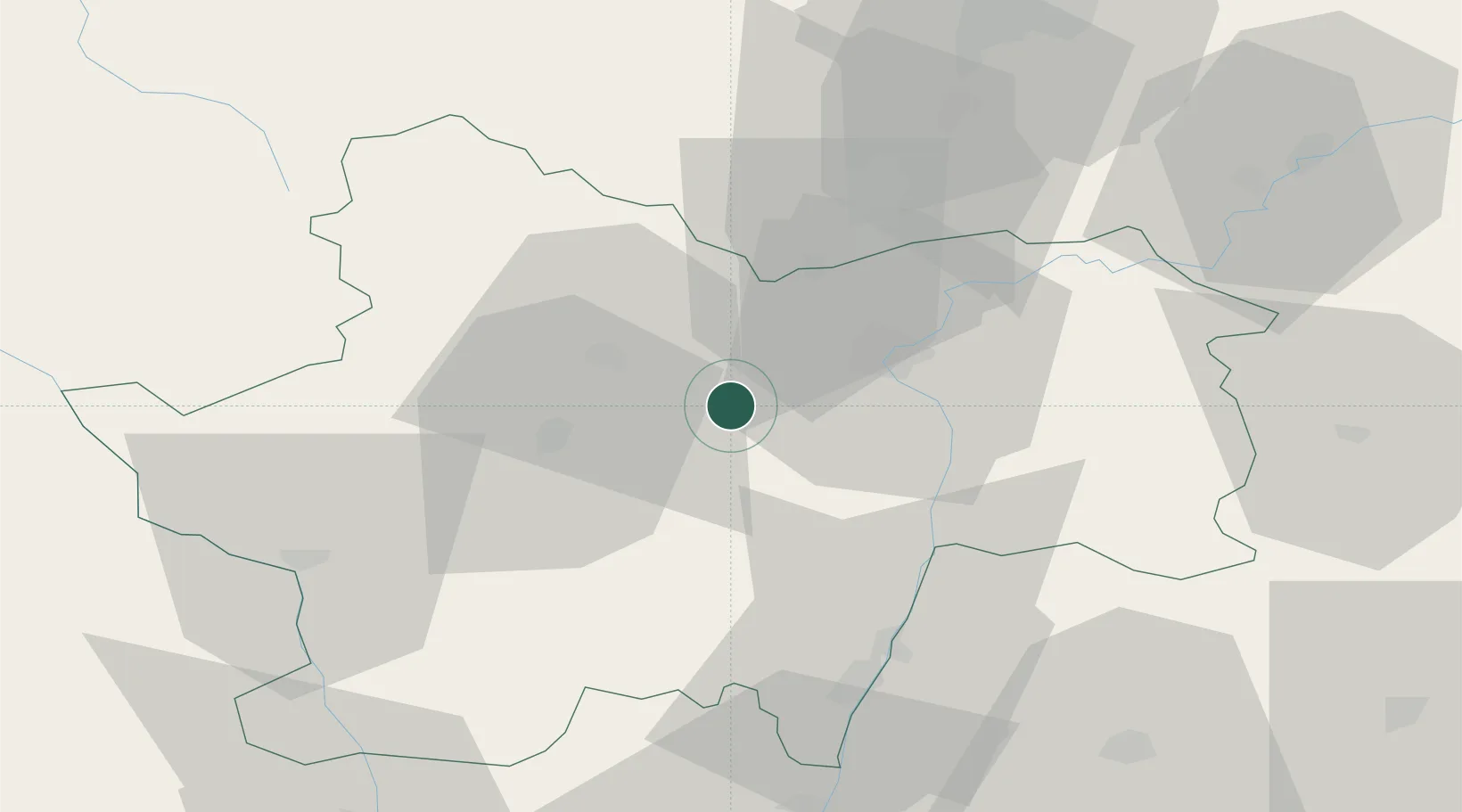
Nearby Logistics Neighbours

Cities
  1. 1Marcilly-lès-Buxy3 km
  2. 2Bissey-sous-Cruchaud4 km
  3. 3Saint-Vallerin5 km
  4. 4Moroges5 km
  5. 5Rosey6 km
Nearest neighbours — logibook spatial index (haversine) over the source coordinates
Ports
  1. 1Fos368 km
  2. 2Port-de-Bouc370 km
  3. 3Port Saint Louis Du Rhone371 km
  4. 4Sete376 km
  5. 5Marseille382 km
Nearest neighbours — logibook spatial index (haversine) over the source coordinates
Airports
  1. 1Mâcon-Charnay Airfield49 km
  2. 2Saint-Yan Airport58 km
  3. 3Dole Tavaux Airport70 km
  4. 4Dijon Longvic airport71 km
  5. 5Roanne-Renaison Airport88 km
Nearest neighbours — logibook spatial index (haversine) over the source coordinates
Trade Zones
  1. 1ZFU Chenôve69 km
  2. 2ZFU Rillieux-la-Pape101 km
  3. 3ZFU Lyon 9e106 km
  4. 4ZFU Vaulx-en-Velin106 km
  5. 5ZFU Vénissieux115 km
Nearest neighbours — logibook spatial index (haversine) over the source coordinates
DatabookThe Record of Consolidated Knowledge
France beyond logistics?
Browse databook

All Sources

LocationsUN/LOCODE
UN/LOCODE — free
LocationsGeoNames
CC BY 4.0
Portsthe NGA World Port Index
Public domain (US gov)
AirportsOurAirports
Public domain
Trade Zonesthe World Bank SEZ database
CC BY 4.0
Trade ZonesOpen Zone Map
CC BY
← France locations